
Jättagraven, stenkammargrav i Småland (Virestad 41:1)
Location: Älmhult Municipality
GPS coordinates: 56.52846,14.37489
Latest update: August 4, 2025 22:56
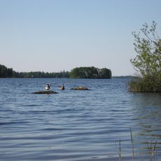
Möckeln
19.2 km
IKEA Museum
15 km
Helikopterolyckan i Ryd
19.7 km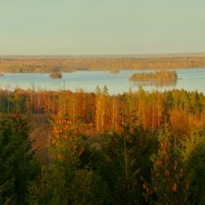
National Park Åsnen
19.8 km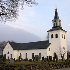
Loshult Church
16.3 km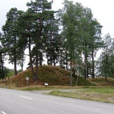
Hönshylte skans
20.4 km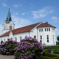
Kyrkhult Church
23.4 km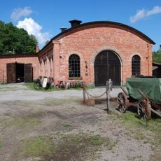
Ebbamåla bruk
25.8 km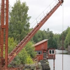
Svarta Bergen
17.3 km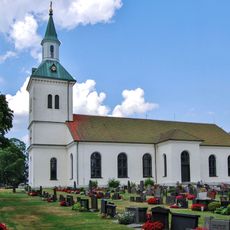
Västra Torsås Church
16.1 km
Pjätteryd Church
24.8 km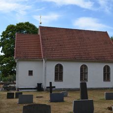
Västra Torsås kapell
21.9 km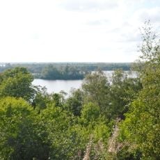
Taxås
17.2 km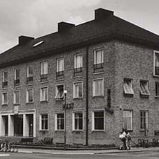
Älmhults köping
14.9 km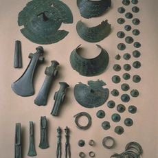
Hoard from Loshult Scania
17 km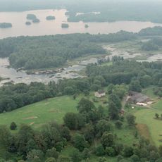
Höö
18.8 km
Nytebodaskogen
22 km
Vakö myr
8.4 km
Tyringemossen
10.2 km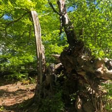
Stubbalyckeboken, Stubbalycke 1:2
10.1 km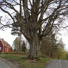
Vesslarpsboken, Vesslarp 1:15
22.1 km
Forneboda
23.5 km
En solitärek, Spånghultseken
15.1 km
Två ekar, Virestadsekarna
10.6 km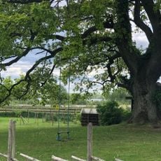
En ek, Sånnaböke 1:181
14.6 km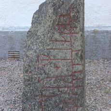
Smålands runinskrifter 41
17.3 km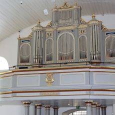
Almundsryds kyrkas orgel by Magnusson and Johansson
21.2 km
Losborg
16.7 kmReviews
Visited this place? Tap the stars to rate it and share your experience / photos with the community! Try now! You can cancel it anytime.
Discover hidden gems everywhere you go!
From secret cafés to breathtaking viewpoints, skip the crowded tourist spots and find places that match your style. Our app makes it easy with voice search, smart filtering, route optimization, and insider tips from travelers worldwide. Download now for the complete mobile experience.

A unique approach to discovering new places❞
— Le Figaro
All the places worth exploring❞
— France Info
A tailor-made excursion in just a few clicks❞
— 20 Minutes