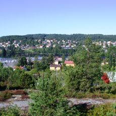
Ärtemark 116:1, stone setting in Bengtsfors Municipality, Älvsborg County, Sweden
Location: Bengtsfors Municipality
GPS coordinates: 59.03278,12.19625
Latest update: November 24, 2023 23:10
Gemeinde Bengtsfors
1.3 km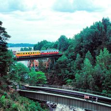
Mellerud–Arvika railway
2.2 km
Halmens Hus
2.4 km
Ärtemark 119:1
2.3 km
Ärtemark 114:4
1.5 km
Bengtsfors bilsätesveteraner
1.9 km
Odéon
1.9 km
Ärtemark 135:1
2 km
Ärtemark 54:1
1.7 km
Ärtemark 48:1
1.9 km
Ärtemark 12:1
2.4 km
Ärtemark 33:1
1.6 km
Skåpafors Servetthistoria
1.9 km
Ärtemark 119:2
2.3 km
Ärtemark 53:1
1.9 km
Ärtemark 183:1
2.2 km
Ärtemark 134:1
1.8 km
Ärtemark 135:2
2 km
Ärtemark 135:3
2 km
Ärtemark 84:1
297 m
Ärtemark 115:1
1.5 km
Ärtemark 134:2
1.8 km
Ärtemark 118:1
2.1 km
Ärtemark 110:1
607 m
Ärtemark 114:1
1.5 km
Ärtemark 12:2
2.4 km
Ärtemark 134:3
1.8 km
Ärtemark 106:1
1.6 kmReviews
Visited this place? Tap the stars to rate it and share your experience / photos with the community! Try now! You can cancel it anytime.
Discover hidden gems everywhere you go!
From secret cafés to breathtaking viewpoints, skip the crowded tourist spots and find places that match your style. Our app makes it easy with voice search, smart filtering, route optimization, and insider tips from travelers worldwide. Download now for the complete mobile experience.

A unique approach to discovering new places❞
— Le Figaro
All the places worth exploring❞
— France Info
A tailor-made excursion in just a few clicks❞
— 20 Minutes