
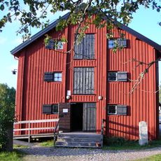
Skee 789:2, building in Strömstad Municipality, Västra Götaland County, Sweden
Location: Strömstad Municipality
GPS coordinates: 58.85280,11.32623
Latest update: August 11, 2025 16:06
Gemeinde Tanum
12.6 km
Gemeinde Strömstad
8.4 km
Elgåfossen
12.8 km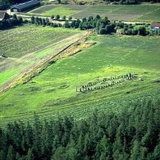
Blomsholm
13.2 km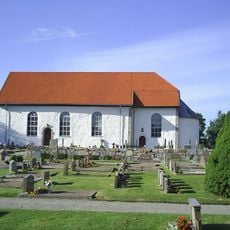
Skee Church
9.8 km
Strömstads stadshus
13.1 km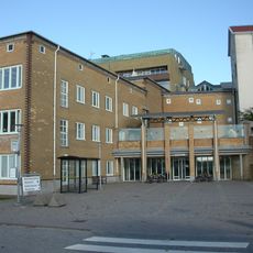
Strömstads sjukhus
13.4 km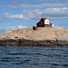
Svangen lighthouse
13.4 km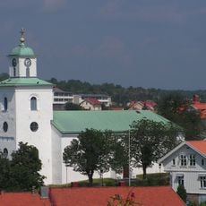
Strömstad Church
12.8 km
Tanums Hällristningsmuseum
13.9 km
Nötholmen
13.9 km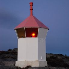
Havstenssund upper light
13 km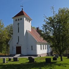
Søndre Enningdal Chapel
12.8 km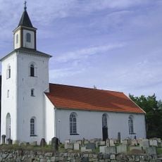
Tjärnö Church
10.2 km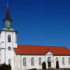
Lurs kyrka
3.8 km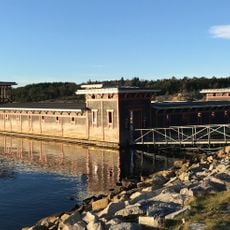
Strömstads kallbadhus
13.2 km
Massleberg
12 km
Havstenssund lower light
14.1 km
Blomsholm stone ship
14.2 km
Västra Rossö
11 km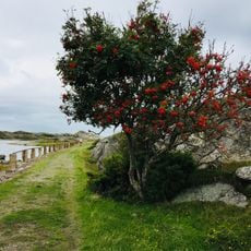
Trossö-Kalvö-Lindö (naturreservat)
13.3 km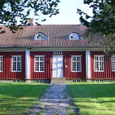
Kville, Tanums och Bullarens tingslag
14.1 km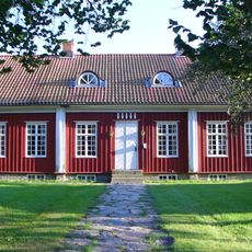
Tanums tingslag
14.1 km
Bissen lighthouse
11.4 km
Strömstad lighthouse
13.5 km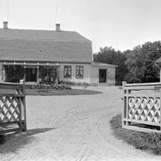
Blomsholms säteri
14.2 km
Skee 147:1
11.9 km
Havstenssunds kapell
14 kmReviews
Visited this place? Tap the stars to rate it and share your experience / photos with the community! Try now! You can cancel it anytime.
Discover hidden gems everywhere you go!
From secret cafés to breathtaking viewpoints, skip the crowded tourist spots and find places that match your style. Our app makes it easy with voice search, smart filtering, route optimization, and insider tips from travelers worldwide. Download now for the complete mobile experience.

A unique approach to discovering new places❞
— Le Figaro
All the places worth exploring❞
— France Info
A tailor-made excursion in just a few clicks❞
— 20 Minutes