
Karlstad 61:1, röse i Värmland
Location: Karlstad Municipality
GPS coordinates: 59.40450,13.48087
Latest update: May 15, 2025 23:04
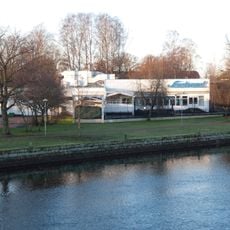
Sandgrund
2.5 km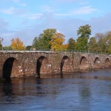
Östra bron
2.9 km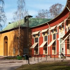
Värmland County museum
2.4 km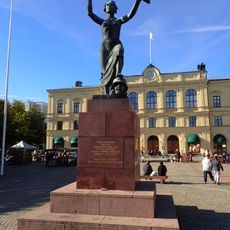
Peace Monument
2.9 km
Karolinen
2.5 km
Karlstads Teater
2.7 km
Sugar Castle
2.7 km
Brigadmuseum
2 km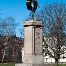
Duke Charles statue
2.8 km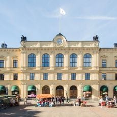
Karlstad City Hall
2.9 km
Bibliotekshuset
2.7 km
Biskopsgården, Karlstad
2.7 km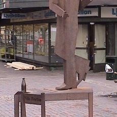
Ferlin Tap-dancing
2.9 km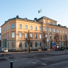
Residenset, Karlstad
2.8 km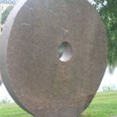
Och solen har sin gång
2.5 km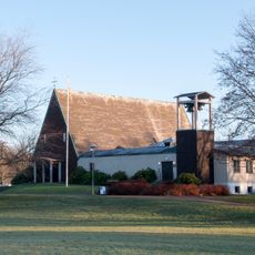
Norrstrandskyrkan
2.3 km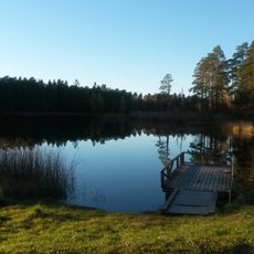
Sandbäckstjärnet
999 m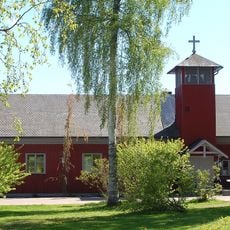
Råtorpskyrkan
519 m
Hypoteksföreningens hus
2.9 km
Mellansysslets domsaga
2.5 km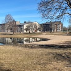
Sundstatjärn, public beach
2.3 km
Badhusparken
2.7 km
Grevgården
2.8 km
Pihlgrensgården
2.8 km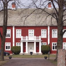
Sandbäckens gård
2.1 km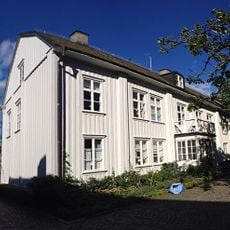
Landshövdingegården och doktorsgården, Karlstad Almen 19
2.9 km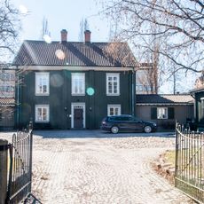
Geijerska gården
2.8 km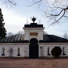
Meta chapell
2.7 kmReviews
Visited this place? Tap the stars to rate it and share your experience / photos with the community! Try now! You can cancel it anytime.
Discover hidden gems everywhere you go!
From secret cafés to breathtaking viewpoints, skip the crowded tourist spots and find places that match your style. Our app makes it easy with voice search, smart filtering, route optimization, and insider tips from travelers worldwide. Download now for the complete mobile experience.

A unique approach to discovering new places❞
— Le Figaro
All the places worth exploring❞
— France Info
A tailor-made excursion in just a few clicks❞
— 20 Minutes