
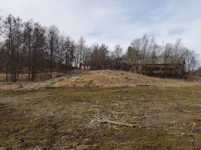
Österhaninge 123:1, Hügelgrab in Schweden
Location: Haninge Municipality
GPS coordinates: 59.19066,18.15091
Latest update: March 5, 2025 23:06

Skogås
3 km
Brandbergen
2.5 km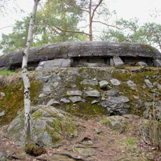
Lännafortet
2.4 km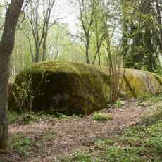
Sjötorpsfortet
2.3 km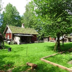
Handens museum och smedja
1.7 km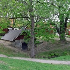
Rudans gård
3.1 km
Norrby, Haninge
734 m
Haninge kulturhus
2.7 km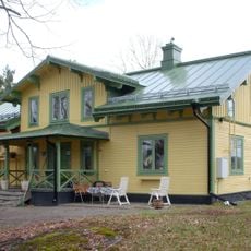
Länna gästgivargård
1.2 km
Haninges vattentorn
2.4 km
Rudan
3.3 km
Mellanberg, Haninge
1.5 km
Bio Cosmopolite
2.4 km
Lännaskogen nature reserve
3.4 km
Svartbäcken School Museum
3.2 km
Drevviken
2.4 km
Söderby kvarn
759 m
Kolartorps naturreservat
1.7 km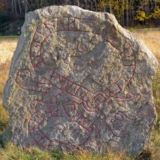
Södermanlands runinskrifter 272
475 m
Lyckebyn
3.3 km
Södermanlands runinskrifter 269
2.7 km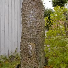
Södermanlands runinskrifter 268
907 m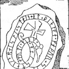
Södermanlands runinskrifter 271
129 m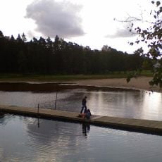
Public beach Övre Rudan
3 km
Lidingö 51:1
2.7 km
Hundbad Drevviken
1.3 km
Haninge bibliotek, Handen
2.7 km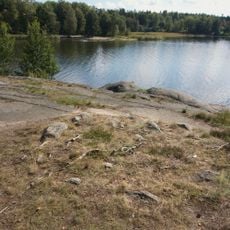
Huddinge 229:1
1.3 kmReviews
Visited this place? Tap the stars to rate it and share your experience / photos with the community! Try now! You can cancel it anytime.
Discover hidden gems everywhere you go!
From secret cafés to breathtaking viewpoints, skip the crowded tourist spots and find places that match your style. Our app makes it easy with voice search, smart filtering, route optimization, and insider tips from travelers worldwide. Download now for the complete mobile experience.

A unique approach to discovering new places❞
— Le Figaro
All the places worth exploring❞
— France Info
A tailor-made excursion in just a few clicks❞
— 20 Minutes