
Stora Kil 30:1, röse i Värmland
Location: Kil Municipality
GPS coordinates: 59.64170,13.30274
Latest update: September 15, 2025 01:47
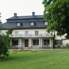
Mårbacka
16 km
Kil Municipality
10.4 km
Forshaga Municipality
15.2 km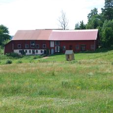
Alma Löv Museum
8.5 km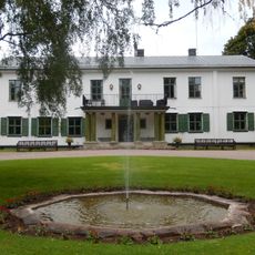
Apertin
14.3 km
Lake Mellan Fryken
11.6 km
Ransäters bruksherrgård
15.9 km
Dömle herrgård
8.3 km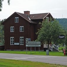
Erlandergården
16.5 km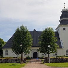
Ransäter Church
16.5 km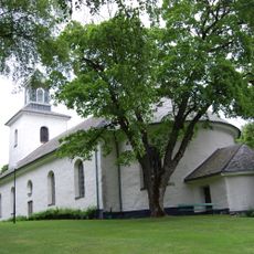
Östra Ämtervik Church
11.7 km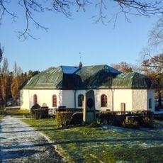
Nedre Ulleruds kyrka
11.8 km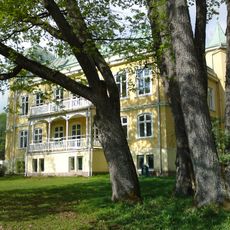
Schloss Forshaga
16.5 km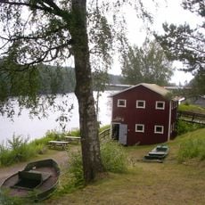
Dyvelstens flottningsmuseum
15.9 km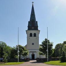
Stora Kils kyrka
12.7 km
Kil hundred
15.1 km
Hannäs
11 km
Усадьба Рансберга
17.8 km
Öjerviks herrgård
18.7 km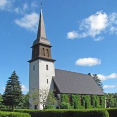
Forshaga Church
16.4 km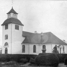
Övre Ulleruds kyrka
10.5 km
Frykeruds kyrka
11.4 km
Ravinerna vid Apertin
14.3 km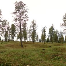
Gräberfeld von Runnevåls
13.5 km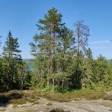
Torrakberget
17 km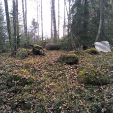
Dunderrösan
8.8 km
Stora Kil 50:2
13.7 km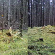
Östra Ämtervik 156:1
10.7 kmReviews
Visited this place? Tap the stars to rate it and share your experience / photos with the community! Try now! You can cancel it anytime.
Discover hidden gems everywhere you go!
From secret cafés to breathtaking viewpoints, skip the crowded tourist spots and find places that match your style. Our app makes it easy with voice search, smart filtering, route optimization, and insider tips from travelers worldwide. Download now for the complete mobile experience.

A unique approach to discovering new places❞
— Le Figaro
All the places worth exploring❞
— France Info
A tailor-made excursion in just a few clicks❞
— 20 Minutes