
Rudskoga 13:1, stone setting in Värmland, Sweden
Location: Kristinehamn Municipality
GPS coordinates: 59.05549,14.22589
Latest update: March 3, 2025 02:54
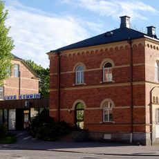
Laxå Municipality
19.6 km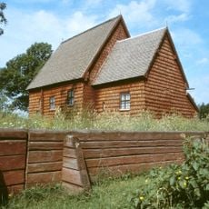
Södra Råda Old Church
5.9 km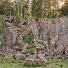
Sveafallen
21.3 km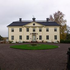
Svartå herrgård
19.2 km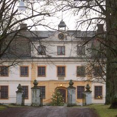
Värmlands Säby
6 km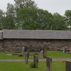
Ramundeboda kloster
20.5 km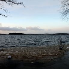
Toften
19 km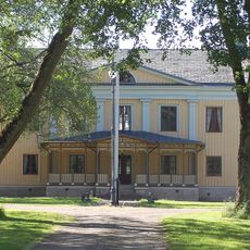
Ribbingsfors
11.7 km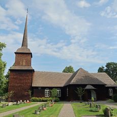
Nysunds kyrka
10.8 km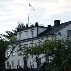
Ölsboda Manor
20 km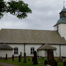
Finnerödja Church
17.9 km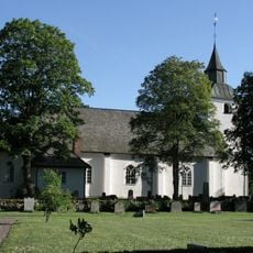
Visnums-Kils kyrka
11.7 km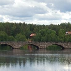
Åtorpsbron
10.4 km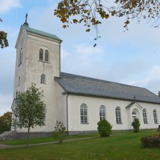
Södra Råda new Church
5.6 km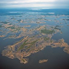
Nötön-Åråsviken
9.7 km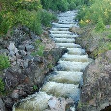
Gullspångsälven
9.2 km
Otterbäckens kyrka
16.3 km
Karsmossen
19.5 km
Folkeberg
19.6 km
Rankemossen
16.5 km
Inre Kilsviken
10.4 km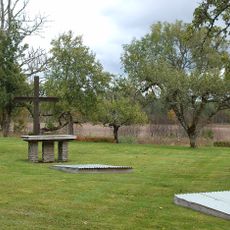
Visnum 32:1
8.4 km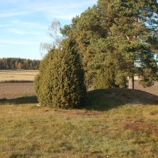
Visnum 17:1
6.7 km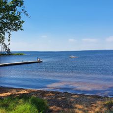
Public beach Skagern
15.3 km
Västerås
7.6 km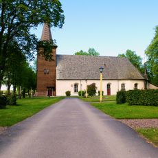
Amnehärads kyrka (Amnehärads Prästbol 2:10
10.8 km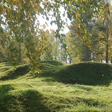
Västerås
7.5 km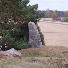
Visnum 18:1
7 kmReviews
Visited this place? Tap the stars to rate it and share your experience / photos with the community! Try now! You can cancel it anytime.
Discover hidden gems everywhere you go!
From secret cafés to breathtaking viewpoints, skip the crowded tourist spots and find places that match your style. Our app makes it easy with voice search, smart filtering, route optimization, and insider tips from travelers worldwide. Download now for the complete mobile experience.

A unique approach to discovering new places❞
— Le Figaro
All the places worth exploring❞
— France Info
A tailor-made excursion in just a few clicks❞
— 20 Minutes