
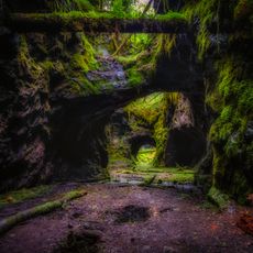
Grythyttan 42:1, ristning, medeltid/historisk tid i Västmanland
Location: Hällefors Municipality
GPS coordinates: 59.72763,14.52329
Latest update: June 25, 2025 06:20
Högbergsfältet
13.5 km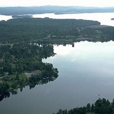
Yngen lake
11.8 km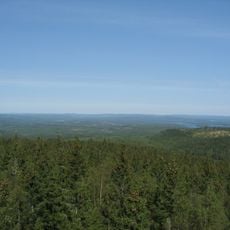
Kindla
20.7 km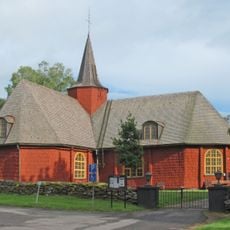
Hällefors Church
6.2 km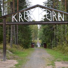
Krokbornsparken
5.4 km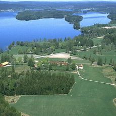
Usken
29.3 km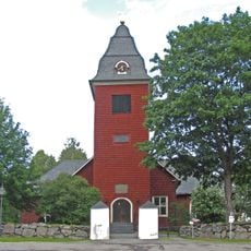
Grythyttan Church
2.6 km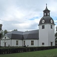
Järnboås Church
23 km
Knuthöjdsmossen
7.7 km
Finnhults skola
5.1 km
Hjulsjö Church
15.6 km
Lersjön
21.4 km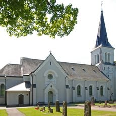
Kroppa Church
17.4 km
Hällefors köping
6.3 km
Björskogsnäs
4.7 km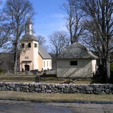
Gåsborns kyrka
20 km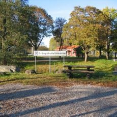
Grängshytteforsarna
14.6 km
Nittälven
25.3 km
Tibergs udde
20.6 km
Munkmossarna
29.2 km
Meshattbäcken
22.7 km
Nya schaktets lave
20.2 km
Storbrohyttan
20.6 km
Nordmarks gruvmuseum
26.4 km
Skräddartorp hembygdsgård
6.4 km
Kokboksmuseet
2.7 km
Comets
7 km
Brattforshyttan
29 kmReviews
Visited this place? Tap the stars to rate it and share your experience / photos with the community! Try now! You can cancel it anytime.
Discover hidden gems everywhere you go!
From secret cafés to breathtaking viewpoints, skip the crowded tourist spots and find places that match your style. Our app makes it easy with voice search, smart filtering, route optimization, and insider tips from travelers worldwide. Download now for the complete mobile experience.

A unique approach to discovering new places❞
— Le Figaro
All the places worth exploring❞
— France Info
A tailor-made excursion in just a few clicks❞
— 20 Minutes