Hörnefors 33:1, röse i Västerbotten
Location: Umeå Municipality
GPS coordinates: 63.64401,19.85895
Latest update: October 28, 2025 08:35
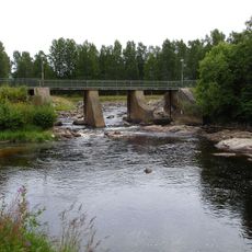
Hörnån
4.6 km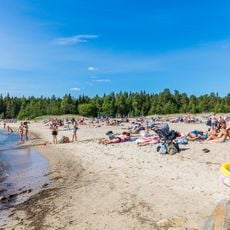
Bettnessands havsbad
11.7 km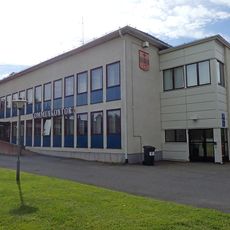
Hörnefors kommun
3.2 km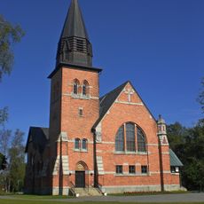
Hörnefors kyrka
3.7 km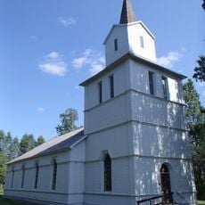
Hörnefors brukskyrka
2.9 km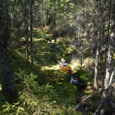
Bjännberget
7 km
Hörnefors 98:1
10.5 km
Hörnefors 4:3
11.9 km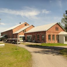
Norrbyskärs Museum
9.8 km
Hörnefors 31:1
9.1 km
Hörnefors 4:1
11.9 km
Hörnefors 32:1
1.2 km
Hörnefors 3:1
11.9 km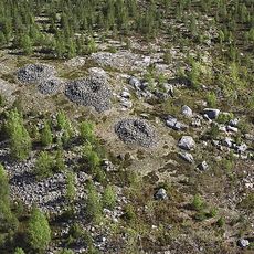
Hörnefors 4:2
11.9 km
Hörnefors 2:1
11.7 km
Hörnefors 39:2
5.8 km
Hörnefors 24:1
8.6 km
Hörnefors 1:1
11.8 km
Hörnefors 27:1
8 km
Hörnefors 5:1
11.8 km
Hörnefors 22:1
12.2 km
Hörnefors 36:1
4.3 km
Hörnefors 4:4
11.9 km
Rösåsen
8.5 km
Hörnefors 2:2
11.7 km
Hörnefors 35:1
2.5 km
Rösåsen
8.5 km
Gunnar Nordahl-statyn
3.4 kmReviews
Visited this place? Tap the stars to rate it and share your experience / photos with the community! Try now! You can cancel it anytime.
Discover hidden gems everywhere you go!
From secret cafés to breathtaking viewpoints, skip the crowded tourist spots and find places that match your style. Our app makes it easy with voice search, smart filtering, route optimization, and insider tips from travelers worldwide. Download now for the complete mobile experience.

A unique approach to discovering new places❞
— Le Figaro
All the places worth exploring❞
— France Info
A tailor-made excursion in just a few clicks❞
— 20 Minutes