Umeå stad 39:2, stensättning i Västerbotten
Location: Umeå Municipality
GPS coordinates: 63.80382,20.18667
Latest update: October 29, 2025 05:15
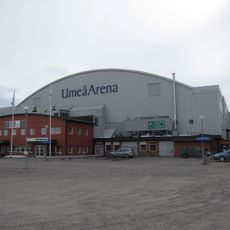
Umeå Arena
3 km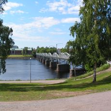
Gamla bron
3.9 km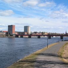
Tegsbron
3.8 km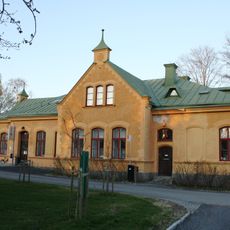
Gamla lasarettet, Umeå
4 km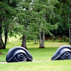
Sculpture park
4 km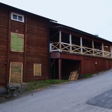
Von Ahnska magasinet
4.1 km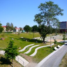
Broparken, Umeå
4.1 km
Hässningberget
3.8 km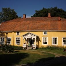
Tegsgården
4 km
Döbelns plan
4 km
Böleängkyrkan
2 km
Grubbebiblioteket
3.4 km
Böle överstelöjtnantsboställe
3.2 km
Backens kapell
3.1 km
Umeå stad 39:1
15 m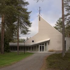
Röbäcks kapell
974 m
Angården
3.6 km
Umeå stad 39:3
16 m
Umeå stad 506:1
1.6 km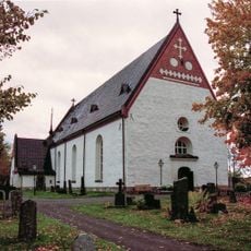
Umeå landsförsamlings kyrka
3.1 km
Umeå stad 76:1
498 m
Umeå stad 78:1
346 m
Fältsjukhus från 1808-1809 år krig
658 m
Kastenhaus 1166.14.2000
4 km
Untitled
3.8 km
Scenic viewpoint
3.2 km
Scenic viewpoint
2.8 km
Klabbölebänken
3.7 kmReviews
Visited this place? Tap the stars to rate it and share your experience / photos with the community! Try now! You can cancel it anytime.
Discover hidden gems everywhere you go!
From secret cafés to breathtaking viewpoints, skip the crowded tourist spots and find places that match your style. Our app makes it easy with voice search, smart filtering, route optimization, and insider tips from travelers worldwide. Download now for the complete mobile experience.

A unique approach to discovering new places❞
— Le Figaro
All the places worth exploring❞
— France Info
A tailor-made excursion in just a few clicks❞
— 20 Minutes