
Lundby 67:1, stone setting in Gothenburg Municipality, Gothenburg and Bohus County, Sweden
Location: Gothenburg Municipality
GPS coordinates: 57.71422,11.87654
Latest update: April 26, 2025 19:11
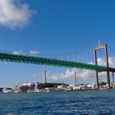
Älvsborg Bridge
3 km
Eriksbergs bockkran
2.9 km
Arendal
2.6 km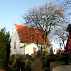
Lundby Old Church
2.3 km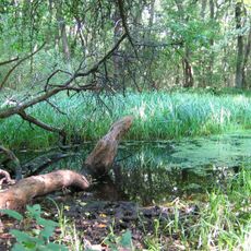
Rya Forest
2.2 km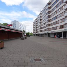
Norra Biskopsgården
1.1 km
Svartedalen, Göteborg
2.5 km
Jättesten
1.9 km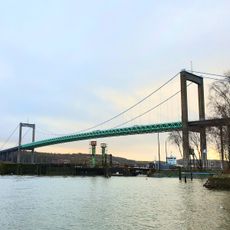
Färjenäsparken
2.4 km
Eriksbergshallen
2.7 km
Svarte mosse
1.5 km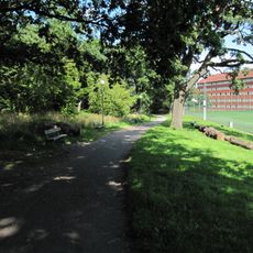
Krokängsparken
2.2 km
Götheborg of Sweden
2.9 km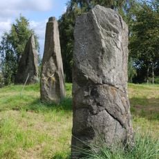
Sannegårdsmonumentet
2.5 km
Torpet Klara
2.7 km
Röda Sten Konsthall
3.2 km
Kyrkbyns bibliotek
1.9 km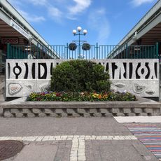
Biskopsgårdens bibliotek
965 m
Tullpaviljongen
3.2 km
Dockbron
2.6 km
Sannegårdsbron
3.1 km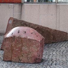
Granit
2.7 km
Lundby 92:1
2.5 km
Västra Sannegårdskajen
3 km
Kolerakyrkogården i Bräcke
1.9 km
Kronjuvelen
2.6 km
Mimi
2.1 km
Vindarnas tempel
3.1 kmReviews
Visited this place? Tap the stars to rate it and share your experience / photos with the community! Try now! You can cancel it anytime.
Discover hidden gems everywhere you go!
From secret cafés to breathtaking viewpoints, skip the crowded tourist spots and find places that match your style. Our app makes it easy with voice search, smart filtering, route optimization, and insider tips from travelers worldwide. Download now for the complete mobile experience.

A unique approach to discovering new places❞
— Le Figaro
All the places worth exploring❞
— France Info
A tailor-made excursion in just a few clicks❞
— 20 Minutes