
Kragoms Fäbod.=Solums Fäb, fäbod i Ångermanland (Säbrå 148:1)
Location: Härnösand Municipality
GPS coordinates: 62.74643,17.73835
Latest update: March 10, 2025 13:24
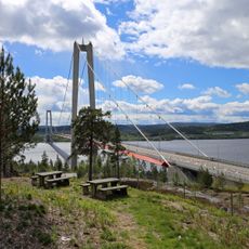
Höga Kusten Bridge
11.7 km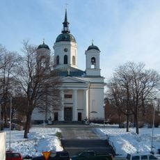
Härnösand Cathedral
16.5 km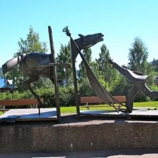
Minnesmärke över de stupade i Ådalen 1931
16.5 km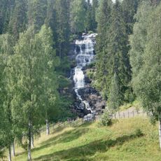
Västanåfallet
16.5 km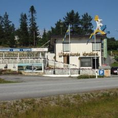
Wästerlunds konditori
16.5 km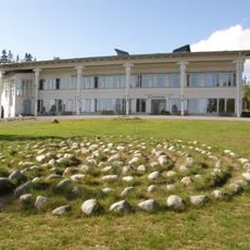
Murberget Länsmuseet Västernorrland
14.7 km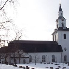
Säbrå
13.1 km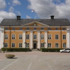
Länsresidenset Härnösand
16.3 km
Säbrå Church
12.9 km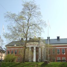
Härnösands rådhus
16.4 km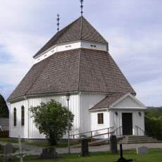
Viksjö Church
16.5 km
Högsjö församling
6.4 km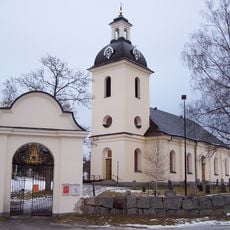
Högsjö new Church
9.5 km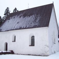
Högsjö gamla kyrka
7.8 km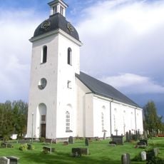
Stigsjö Church
12.5 km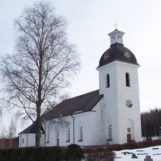
Stigsjö
9.6 km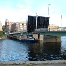
Nybron, Härnösand
16.1 km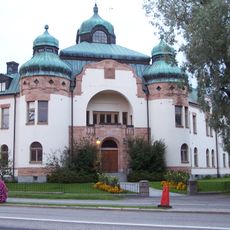
Ångermanlands södra domsagas tingslag
16.3 km
Landstingets kansli
16.3 km
Sörgårdens kapell
9.7 km
Gådeåbergsbrännan
15.5 km
Stigsjö 1:1
8.9 km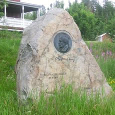
Högsjö 3:1
7.8 km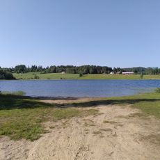
Brånsviken public beach
13.4 km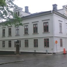
Nybergska huset
16.4 km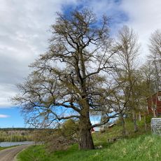
Oak Tree in Näs, near Härnösand
14.3 km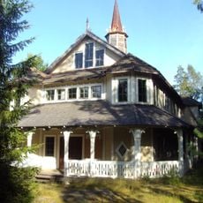
Nyadals missionskyrka
13.1 km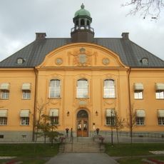
Gamla Landstatshuset Härnösand
16.5 kmReviews
Visited this place? Tap the stars to rate it and share your experience / photos with the community! Try now! You can cancel it anytime.
Discover hidden gems everywhere you go!
From secret cafés to breathtaking viewpoints, skip the crowded tourist spots and find places that match your style. Our app makes it easy with voice search, smart filtering, route optimization, and insider tips from travelers worldwide. Download now for the complete mobile experience.

A unique approach to discovering new places❞
— Le Figaro
All the places worth exploring❞
— France Info
A tailor-made excursion in just a few clicks❞
— 20 Minutes