
Eskilsäter 291, ristning, medeltid/historisk tid i Värmland
Location: Säffle Municipality
GPS coordinates: 58.88585,13.18527
Latest update: September 6, 2025 02:57
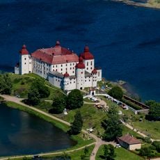
Läckö Castle
23.6 km
Lindholmen Castle
31.4 km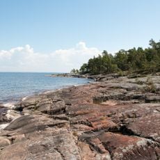
Djurö National Park
16.9 km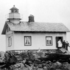
Naven
21 km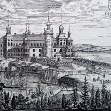
Läckö Castle Opera
23.6 km
Lurö skärgård
8.7 km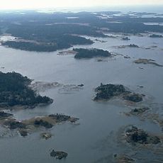
Kållands skärgårdar
19.7 km
Säffle Church
31.3 km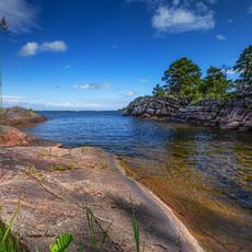
Varaskogen
30.8 km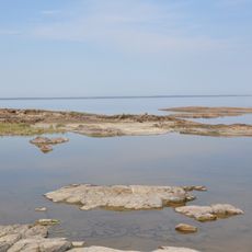
Lake Vänern Archipelago
19.1 km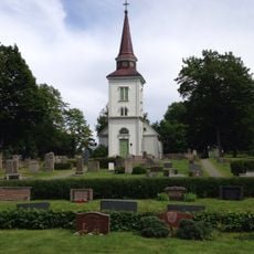
Ölseruds kyrka
15.1 km
Huggenäs Church
30.1 km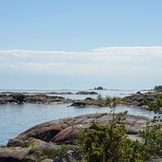
Tösse skärgård
29.4 km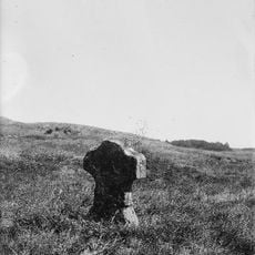
Katrine kapell
28.7 km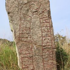
Västergötland Runic Inscription 35
24.8 km
Varan
31.5 km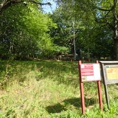
Skansen Läckö
28.8 km
Björkkullasands naturreservat
30.1 km
Duseudde
27.6 km
Hällekis harbor lighthouse
31.4 km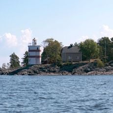
Djurö lighthouse
16.6 km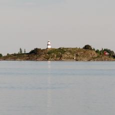
Fogden
30.3 km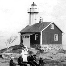
Trädgårdsholmen
11.8 km
Public beach Vänern, Kinnekulle Camping
31.4 km
Public beach Vänern, Björkkullasand
30.4 km
Säffle bibliotek
31.3 km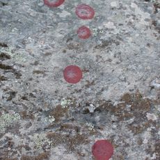
Otterstad 101:3
26 km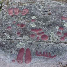
Otterstad 101:4
26 kmReviews
Visited this place? Tap the stars to rate it and share your experience / photos with the community! Try now! You can cancel it anytime.
Discover hidden gems everywhere you go!
From secret cafés to breathtaking viewpoints, skip the crowded tourist spots and find places that match your style. Our app makes it easy with voice search, smart filtering, route optimization, and insider tips from travelers worldwide. Download now for the complete mobile experience.

A unique approach to discovering new places❞
— Le Figaro
All the places worth exploring❞
— France Info
A tailor-made excursion in just a few clicks❞
— 20 Minutes