
Norrköping 330, stone setting in Östergötland, Sweden
Location: Norrköping Municipality
GPS coordinates: 58.61734,16.12359
Latest update: June 12, 2025 20:21
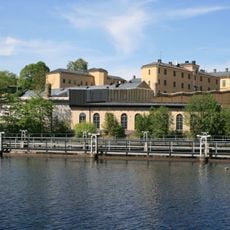
Anstalten Norrköping
4.2 km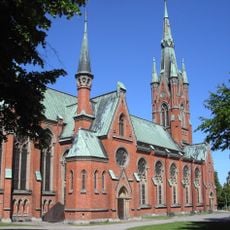
Matteus kyrka, Norrköping
3.9 km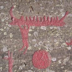
Himmelstalund
2.9 km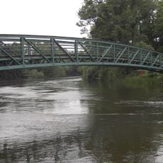
Femöresbron
3.8 km
Ringstaholm
3.1 km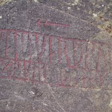
Östergötland Runic Inscription 43
2.9 km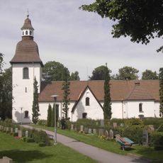
Östra Eneby Church
1.1 km
Färgargården
4.1 km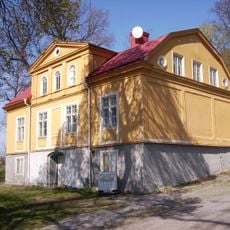
Borg
2.9 km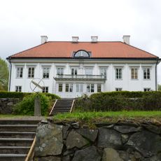
Marieborgs herrgård
3.2 km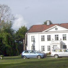
Ringstad gård
1 km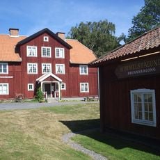
Himmelstalunds herrgård
3.7 km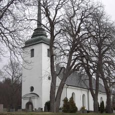
Kvillinge Church
3.4 km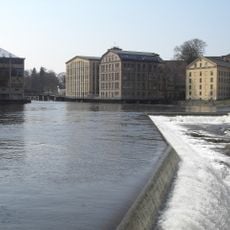
Drag power station
4.3 km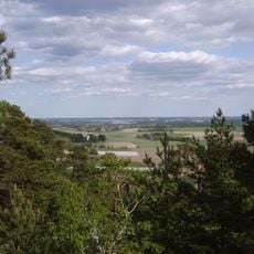
Kvillingeförkastningen
3.8 km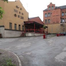
Hallarna
4.1 km
Kulturkammaren
4.1 km
Berzeliusskolan
4.1 km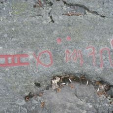
Östergötlands runinskrifter KJ54
3 km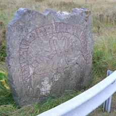
Östergötlands runinskrifter 46
1.9 km
Östergötlands runinskrifter 47
1.9 km
Norrköpings ekbackar
2.3 km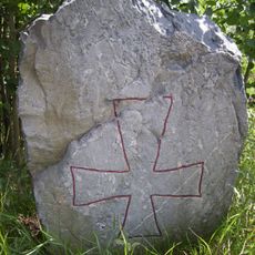
Östergötlands runinskrifter 48
1.9 km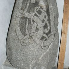
Östergötlands runinskrifter Fv1959;243
1.1 km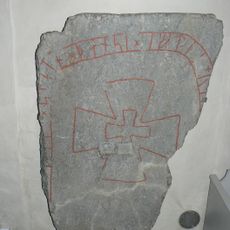
Östergötlands runinskrifter Fv1959;241
1.1 km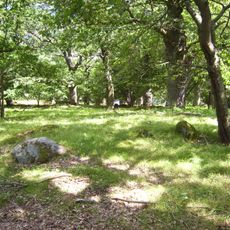
Ingelsta ekbackar
2.6 km
Östra Eneby 45:1
3 km
Östra Eneby 8:1
2.4 kmReviews
Visited this place? Tap the stars to rate it and share your experience / photos with the community! Try now! You can cancel it anytime.
Discover hidden gems everywhere you go!
From secret cafés to breathtaking viewpoints, skip the crowded tourist spots and find places that match your style. Our app makes it easy with voice search, smart filtering, route optimization, and insider tips from travelers worldwide. Download now for the complete mobile experience.

A unique approach to discovering new places❞
— Le Figaro
All the places worth exploring❞
— France Info
A tailor-made excursion in just a few clicks❞
— 20 Minutes