
Västra Vingåker 18:1, grave field in Södermanland, Sweden
Location: Vingåker Municipality
GPS coordinates: 58.97719,15.76018
Latest update: October 20, 2025 04:10
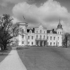
Boo Castle
15 km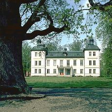
Skenäs gård
14.9 km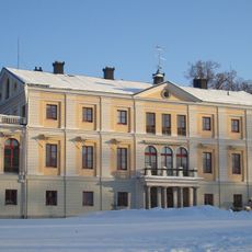
Sävstaholm Castle
10.4 km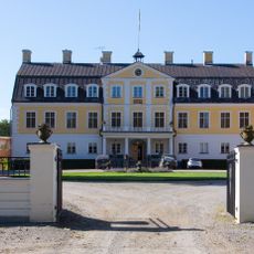
Claestorp Castle
20.7 km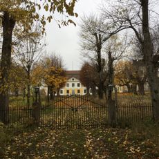
Regnaholm
8.8 km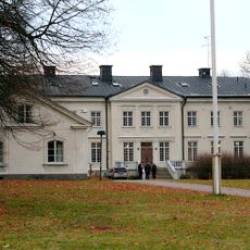
Kjesäter
11.6 km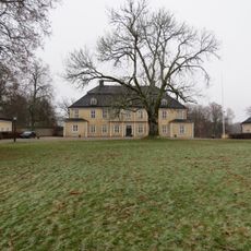
Bystad Manor
16.9 km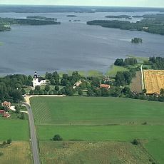
Tisnaren
11 km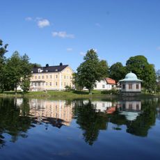
Beckershov
15.7 km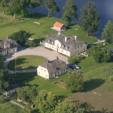
Tisenhult
14.1 km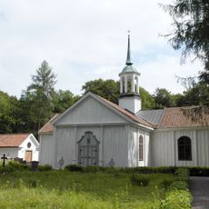
Bo Church
15.1 km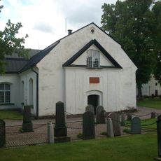
Östra Vingåkers kyrka
20.3 km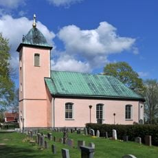
Lännäs Church
21.6 km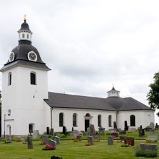
Skedevi Church
8.3 km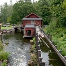
Övre Hävla bruk
9.4 km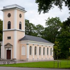
Brevens kyrka
10.8 km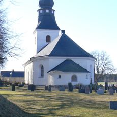
Regna Church
10.1 km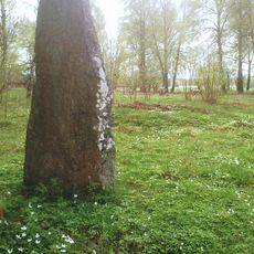
Glottrasten
20.1 km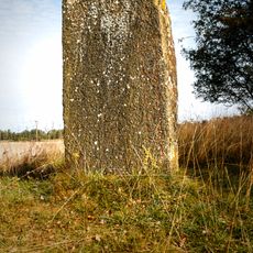
Sö 71
10.5 km
Berga, Vingåker
8.6 km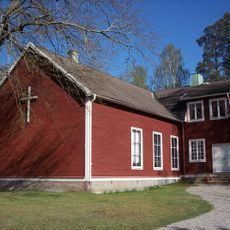
Högsjö Church
7.7 km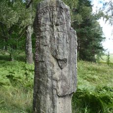
Södermanlands runinskrifter 73
7.3 km
Kulanbeståndet
20.3 km
Sankt Görans kapell, Kjesäters folkhögskola
11.7 km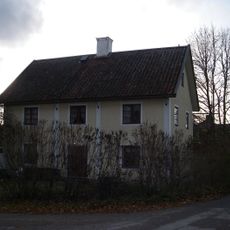
Renströmska skolan
10.1 km
Brevens Bruk museum
11.1 km
Grindstugan
19.2 km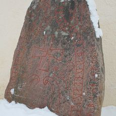
Södermanlands runinskrifter 72
11.7 kmReviews
Visited this place? Tap the stars to rate it and share your experience / photos with the community! Try now! You can cancel it anytime.
Discover hidden gems everywhere you go!
From secret cafés to breathtaking viewpoints, skip the crowded tourist spots and find places that match your style. Our app makes it easy with voice search, smart filtering, route optimization, and insider tips from travelers worldwide. Download now for the complete mobile experience.

A unique approach to discovering new places❞
— Le Figaro
All the places worth exploring❞
— France Info
A tailor-made excursion in just a few clicks❞
— 20 Minutes