
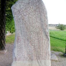
Heda 72:1, hällristning i Östergötland
Location: Ödeshög Municipality
GPS coordinates: 58.29827,14.73574
Latest update: March 31, 2025 19:27
Rök Runestone
2.3 km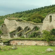
Alvastra Abbey
4.5 km
Strand
5.6 km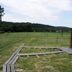
Alvastra pile-dwelling
3.6 km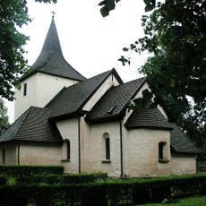
Väversunda Church
5.6 km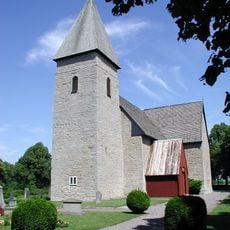
Rogslösa Church
9.4 km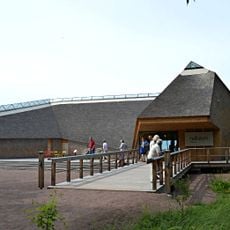
Naturum Tåkern
6.3 km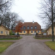
Renstad
2.6 km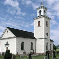
Västra Tollstad Church
5.2 km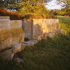
Sverkerskapellet
5.5 km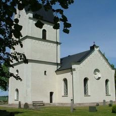
Källstad Church
9.1 km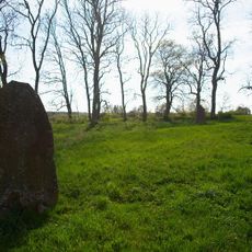
Harstad Church
10.3 km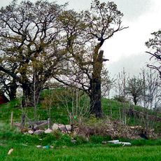
Disevids kulle
1.1 km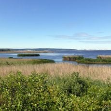
Tåkern
7.5 km
Isberga
1.5 km
Ombergs bokskogs domänreservat
5.8 km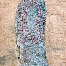
Östergötlands runinskrifter 132
2.3 km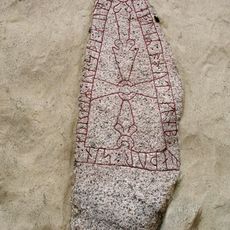
Östergötlands runinskrifter 131
2.3 km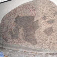
Östergötlands runinskrifter 144
8.9 km
Jussbergs kulle
3 km
Östergötlands runinskrifter 133
5.8 km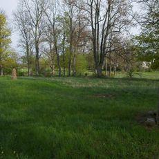
Östergötlands runinskrifter Fv1975;174
10.3 km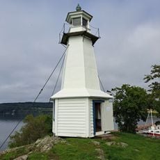
Hästholmen lighthouse
6.3 km
Bockakyrkogården
9.8 km
Hjässan
5.2 km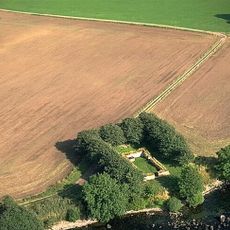
Svenkerskapellet
5.5 km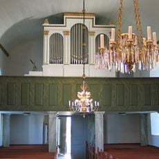
Kumla kyrkas orgel av August Rosenborg
9.3 km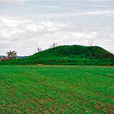
Tjugby kulle
951 mReviews
Visited this place? Tap the stars to rate it and share your experience / photos with the community! Try now! You can cancel it anytime.
Discover hidden gems everywhere you go!
From secret cafés to breathtaking viewpoints, skip the crowded tourist spots and find places that match your style. Our app makes it easy with voice search, smart filtering, route optimization, and insider tips from travelers worldwide. Download now for the complete mobile experience.

A unique approach to discovering new places❞
— Le Figaro
All the places worth exploring❞
— France Info
A tailor-made excursion in just a few clicks❞
— 20 Minutes