Tjuråsen, nature reserve in Örebro, Sweden
Location: Hällefors Municipality
Location: Nora Municipality
Inception: January 14, 2008
GPS coordinates: 59.51670,14.70547
Latest update: November 16, 2025 06:32
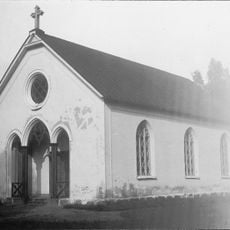
Karlsdals kapell
8.6 km
Murstensdalen
10 km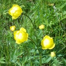
Älvhytteängen
10.9 km
Djupa dalen
9.2 km
Trösälven
11.3 km
Lampahöjd
5.1 km
Näsmarkerna
10.9 km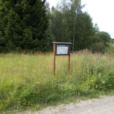
Venakärret
10.3 km
Blecktjärnsskogen
10.8 km
Lobergshöjden
8.7 km
Vena hage
10.5 km
Malmhöjden
10 km
Storön
4.2 km
Bofallsmossen
6.7 km
Ulvdrågen
7.3 km
Dammsjöhöjden
4.7 km
Gällsjöhöjden
6.4 km
Bromängen
9.2 km
Ängsmossetjärnarna
9.6 km
Nora 680
8.8 km
Nora 679
8.8 km
Myrhällerne
8.5 km
Nora 681
8.8 km
Älvhytte missionshus
10.3 km
Stadra gård
5.5 km
Pyr-Brittas källa
5.7 km
Stora sand
10.6 km
Scenic viewpoint
9.6 kmReviews
Visited this place? Tap the stars to rate it and share your experience / photos with the community! Try now! You can cancel it anytime.
Discover hidden gems everywhere you go!
From secret cafés to breathtaking viewpoints, skip the crowded tourist spots and find places that match your style. Our app makes it easy with voice search, smart filtering, route optimization, and insider tips from travelers worldwide. Download now for the complete mobile experience.

A unique approach to discovering new places❞
— Le Figaro
All the places worth exploring❞
— France Info
A tailor-made excursion in just a few clicks❞
— 20 Minutes