Vena hage, محمية طبيعية في السويد
Location: Nora Municipality
Inception: September 22, 2017
GPS coordinates: 59.45417,14.84445
Latest update: October 25, 2025 18:27
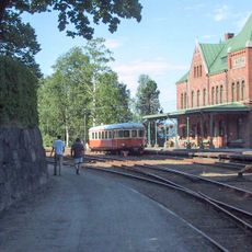
Nora Bergslags veteran railway
13.2 km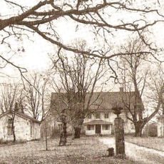
Bergsängs gård
10.1 km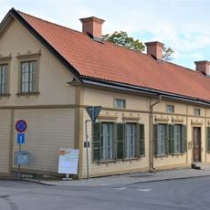
Göthlinska gården
13.2 km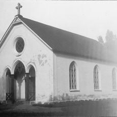
Karlsdals kapell
8.4 km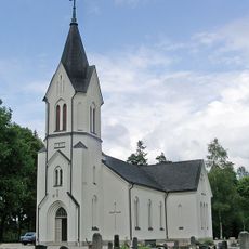
Vikers kyrka
2.7 km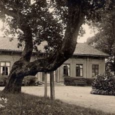
Knutsberg
11.5 km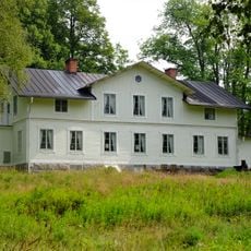
Dalkarlsbergs herrgård
2.7 km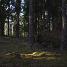
Trolldalen
10.9 km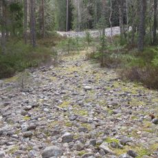
Lövbrickan
12.8 km
Lindes och Nora domsagas tingslag
12.4 km
Älvhytteängen
2.1 km
Ramshytte ängar
11.2 km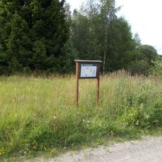
Venakärret
1.1 km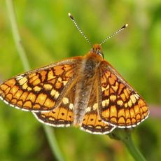
Röbergshagemossen
12.9 km
Åkaregården
13.1 km
Myrhällerne
10.8 km
Nora 680
10.4 km
Kyrkstenen
9.1 km
Nora 679
10.4 km
Fd. Spruthuset
13.1 km
Nora 681
10.4 km
Käppsta
8.1 km
Pyr-Brittas källa
13 km
F.d. hytta
10 km
Gyttorps stadskärna
9 km
Lejonporten
13 km
Portvakten
10.8 km
Rusakulan
11.4 kmReviews
Visited this place? Tap the stars to rate it and share your experience / photos with the community! Try now! You can cancel it anytime.
Discover hidden gems everywhere you go!
From secret cafés to breathtaking viewpoints, skip the crowded tourist spots and find places that match your style. Our app makes it easy with voice search, smart filtering, route optimization, and insider tips from travelers worldwide. Download now for the complete mobile experience.

A unique approach to discovering new places❞
— Le Figaro
All the places worth exploring❞
— France Info
A tailor-made excursion in just a few clicks❞
— 20 Minutes