
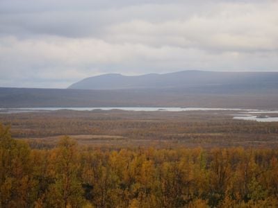
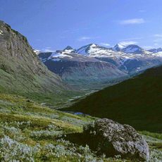
Ultevis fjällurskog, nature reserve in Norrbotten, Sweden
Location: Jokkmokk Municipality
Inception: May 19, 2000
Website: https://www.lansstyrelsen.se/norrbotten/besoksmal/naturreservat/jokkmokk/ultevis-fur.html
Operator: Länsstyrelsen i Norrbottens län
Website: https://lansstyrelsen.se/norrbotten/besoksmal/naturreservat/jokkmokk/ultevis-fur.html
GPS coordinates: 67.07734,18.98301
Latest update: March 4, 2025 21:35
Sarek National Park
61.4 km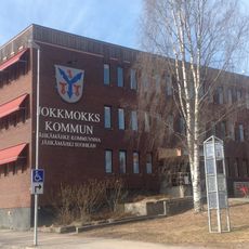
Jokkmokk Municipality
63.4 km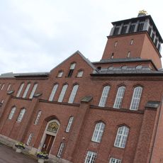
Porjus Hydroelectric Power Station
37.9 km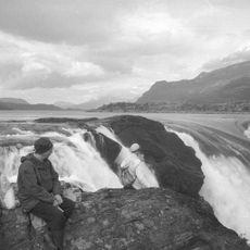
Stora Sjöfallet
52.7 km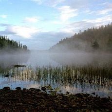
Sjaunja Nature Reserve
45 km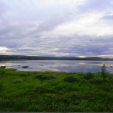
Stora Lulevatten
25.5 km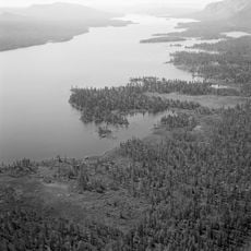
Karats
43.1 km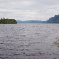
Saggat
55.9 km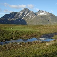
Ähpar
53.3 km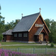
Kvikkjokk Church
56.6 km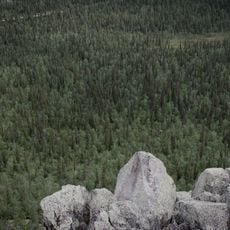
Stubba nature reserve
47 km
Bårddetjåhkkå
60.7 km
Skalka
26 km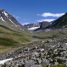
Pastavagge
51.8 km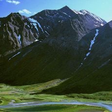
Bielloriehppe
54.7 km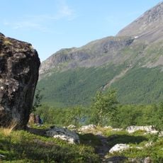
Pärlälvens fjällurskog
49.3 km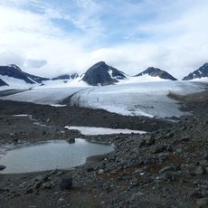
Pårteglaciären
58.1 km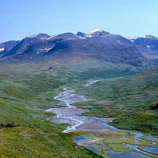
Skoarkki
51.4 km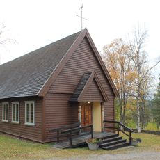
Porjus kyrka
38.2 km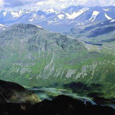
Låddepakte
57.9 km
Ålloluokta kapell
23 km
Kvikkjokk-Kabla fjällurskog
43.2 km
Tjakkeli
35.2 km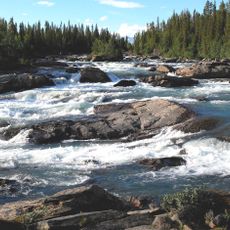
Kamajokk
56.8 km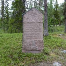
Nabreluokta kapell
24.5 km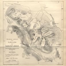
Tjågnorisjekna
63.6 km
Bucht glacier
63.7 km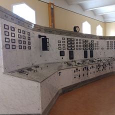
Porjus gamla kraftstation, Porjus expo
38 kmReviews
Visited this place? Tap the stars to rate it and share your experience / photos with the community! Try now! You can cancel it anytime.
Discover hidden gems everywhere you go!
From secret cafés to breathtaking viewpoints, skip the crowded tourist spots and find places that match your style. Our app makes it easy with voice search, smart filtering, route optimization, and insider tips from travelers worldwide. Download now for the complete mobile experience.

A unique approach to discovering new places❞
— Le Figaro
All the places worth exploring❞
— France Info
A tailor-made excursion in just a few clicks❞
— 20 Minutes