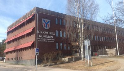
Jokkmokk Municipality, Municipal area with Sami heritage in Norrbotten County, Sweden
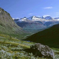
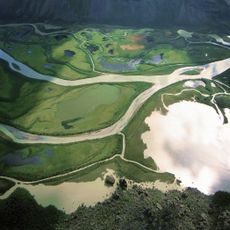
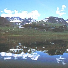
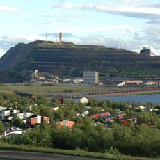
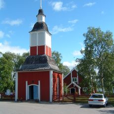
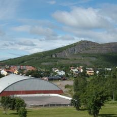
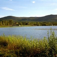
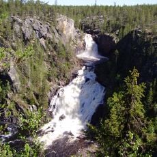
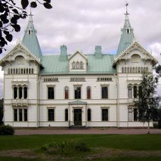
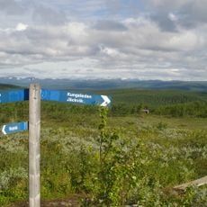
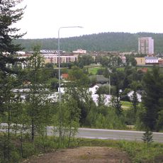
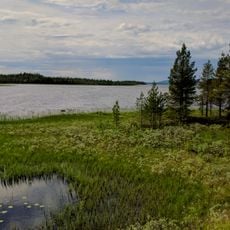
Jokkmokk Municipality is an administrative area north of the Arctic Circle in Norrbotten County that spans a large territory. The area contains several national parks, numerous rivers, and three main settlements - Jokkmokk, Vuollerim, and Porjus - alongside smaller communities.
The municipality was established in 1863 and has kept its original borders intact, receiving its coat of arms in 1971 featuring hydroelectric facilities and traditional Sami symbols. This administrative foundation connects the region's long history with modern governance.
The Jokkmokk Market has taken place on the first weekend of February since 1605, drawing traders, artists, and visitors who experience exhibitions, lectures, and traditional goods. The gathering reflects how indigenous Sami communities and other visitors have long shared this region together.
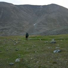
The area is large and sparsely populated, so it helps to focus on the main towns or explore the national parks within it. During colder months, expect winter conditions that may affect travel and accessibility across the territory.
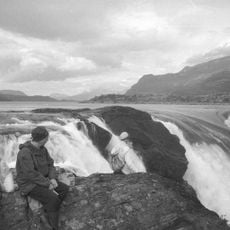
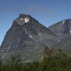
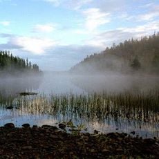
The Laponian area within this region is a UNESCO World Heritage Site that protects the traditional lands of reindeer-herding Sami communities. This protected space preserves one of Europe's oldest ways of life that continues today.
Location: Norrbotten County
Inception: January 1, 1971
Capital city: Jokkmokk
Part of: Lapland, Gällivare domkrets
Shares border with: Fauske Municipality, Sørfold Municipality, Hamarøy Municipality, Gällivare Municipality, Boden Municipality, Älvsbyn Municipality, Arvidsjaur Municipality, Arjeplog Municipality
Phone: +4697117000
Email: kommun@jokkmokk.se
Website: http://jokkmokk.se
GPS coordinates: 66.61667,19.83333
Latest update: December 7, 2025 10:05
Kebnekaise
154 km
Icehotel in Jukkasjärvi
141.1 km
Gällivare Municipality
67.7 km
Sarek National Park
120.3 kmKiruna city transformation
138.8 km
Laponian National Park
126.3 km
Uppsala County
728.6 km
Áhkká
147.6 km
Kiirunavaara
135.6 km
Färnebofjärden National Park
730.8 km
Porjus Hydroelectric Power Station
38.5 km
Stora Sjöfallet
116 km
Kiruna City Hall
138.7 km
Jukkasjärvi Church
141.1 km
Luossavaara
141.1 km
Dundret
61.8 km
Muddus National Park
37 km
Sarektjåkkå
129 km
Padjelanta National Park
818.6 km
Akkajaure
214.7 km
Tuolpagorni
150.9 km
Kiruna Town
138.4 km
Fjällnäs Castle
67.2 km
Kiruna Former City Hall
138.6 km
Sjaunja Nature Reserve
94.5 km
Durlings led
152.1 km
Storglaciären
152.8 km
Ormen Långe
126.6 kmVisited this place? Tap the stars to rate it and share your experience / photos with the community! Try now! You can cancel it anytime.
Discover hidden gems everywhere you go!
From secret cafés to breathtaking viewpoints, skip the crowded tourist spots and find places that match your style. Our app makes it easy with voice search, smart filtering, route optimization, and insider tips from travelers worldwide. Download now for the complete mobile experience.
A unique approach to discovering new places❞
— Le Figaro
All the places worth exploring❞
— France Info
A tailor-made excursion in just a few clicks❞
— 20 Minutes