
Långstrandberget, محمية طبيعية في السويد
Location: Ragunda Municipality
Inception: January 12, 2018
GPS coordinates: 63.28130,15.80891
Latest update: June 15, 2025 14:07
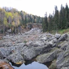
Döda fallet
43.8 km
Östersund Municipality
44.8 km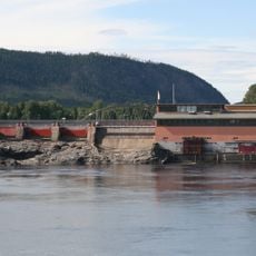
Ragunda Municipality
27.7 km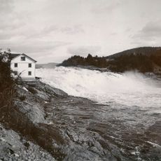
Hammarforsen
33.2 km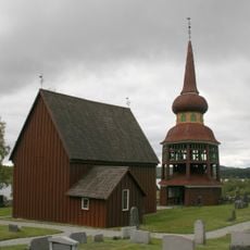
Håsjö gamla kyrka
36.7 km
Ramsele gamla kyrka
42.8 km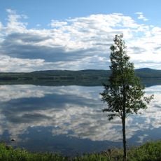
Gesunden
16.2 km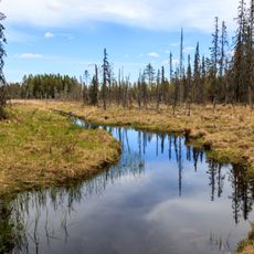
Öjsjömyrarna Nature Reserve
39.7 km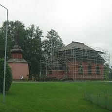
Stuguns gamla kyrka
16.9 km
Hammerdals kommun
39.6 km
Ramsele Municipality
42.5 km
Ragunda tingslag
38.8 km
Stuguns nya kyrka
16 km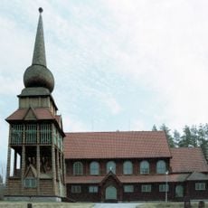
Håsjö new Church
33.8 km
Krokvåg
26.5 km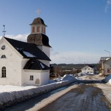
Borgvattnets kyrka
15.8 km
Bomsund
15.1 km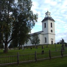
Helgums församling
44.4 km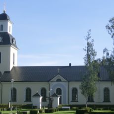
Ramsele Church
43.5 km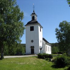
Edsele church
39.7 km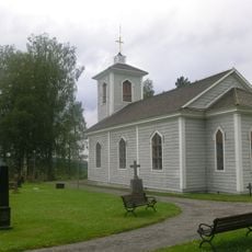
Nyhems kyrka
42.7 km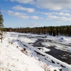
Ammerån
6.4 km
Jämtlands östra domsagas tingslag
38.8 km
Spåmansloken
36.3 km
Nipsippan i Krången
44.2 km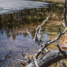
Billtjärns urskog
44.4 km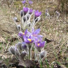
Nipsippan i Nässjö by
43 km
Krångede kraftverksmuseum
20 kmReviews
Visited this place? Tap the stars to rate it and share your experience / photos with the community! Try now! You can cancel it anytime.
Discover hidden gems everywhere you go!
From secret cafés to breathtaking viewpoints, skip the crowded tourist spots and find places that match your style. Our app makes it easy with voice search, smart filtering, route optimization, and insider tips from travelers worldwide. Download now for the complete mobile experience.

A unique approach to discovering new places❞
— Le Figaro
All the places worth exploring❞
— France Info
A tailor-made excursion in just a few clicks❞
— 20 Minutes