
En lind Sannerud, naturminne i Laxå kommun
Location: Laxå Municipality
Inception: October 19, 1959
GPS coordinates: 58.76169,14.52054
Latest update: March 16, 2025 01:23
Tiveden national park
7.5 km
Gemeinde Karlsborg
19.9 km
Laxå Municipality
21 km
Viken
16.5 km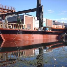
Eric Nordevall II
20.9 km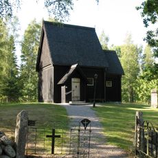
Skaga stave church
5.8 km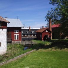
Forsviks bruk
20.9 km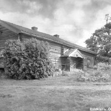
Kullängsstugan
19.4 km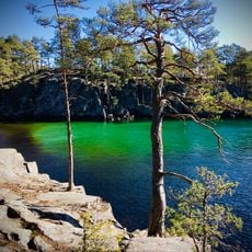
Valekleven-Ombo öar
14.6 km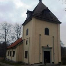
Birgittakyrkan
16.4 km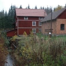
Edets benstamp och kvarn
10.6 km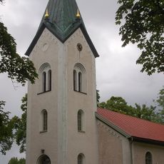
Tiveds kyrka
953 m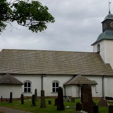
Finnerödja Church
19.7 km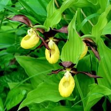
Bölets ängar
16.1 km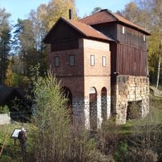
Igelbäckens masugn
12.4 km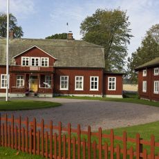
Hova prästgård
20.7 km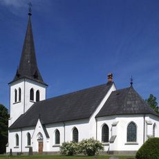
Halna Church
20.1 km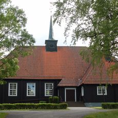
Gårdsjö Church
15.8 km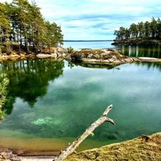
Uvviken-Kyrkogårdsön
13.9 km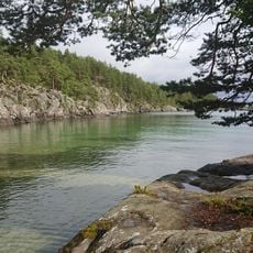
Granvik
14.8 km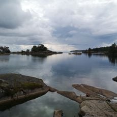
Utnäset
13.9 km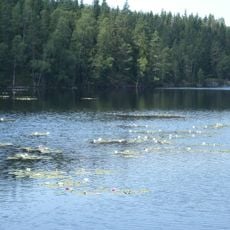
Fagertärn
10.4 km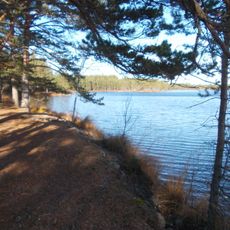
Kråksjöåsen-Kojemossen
12.3 km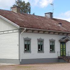
Hova tingslag
20.4 km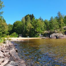
Granvik, public beach Vättern
14.7 km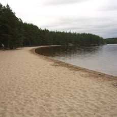
Public beach Nationalparken Vitsand
4.6 km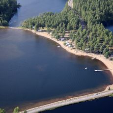
Reveln, public beach
19.6 km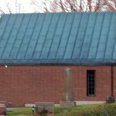
Hova gravkapell
20 kmReviews
Visited this place? Tap the stars to rate it and share your experience / photos with the community! Try now! You can cancel it anytime.
Discover hidden gems everywhere you go!
From secret cafés to breathtaking viewpoints, skip the crowded tourist spots and find places that match your style. Our app makes it easy with voice search, smart filtering, route optimization, and insider tips from travelers worldwide. Download now for the complete mobile experience.

A unique approach to discovering new places❞
— Le Figaro
All the places worth exploring❞
— France Info
A tailor-made excursion in just a few clicks❞
— 20 Minutes