
En ek Åstad 1:10, naturminne i Motala kommun
Location: Motala Municipality
Inception: April 14, 1955
GPS coordinates: 58.69023,15.35292
Latest update: March 11, 2025 05:17
Ulvåsa
19.2 km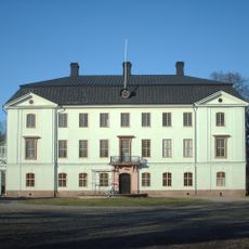
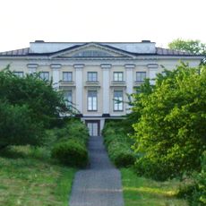
Ljung Castle
18.8 km
Boren
17.6 km
Birgittas udde
18.8 km
Kungs Norrby
15.5 km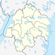
Getmans rike
10 km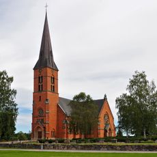
Hällestad Church
14.1 km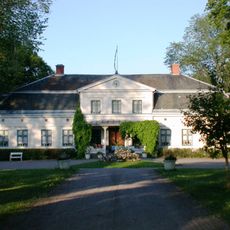
Brunneby herrgård
16.7 km
Sonstorps herrgård
16.8 km
Medevi gård
21.3 km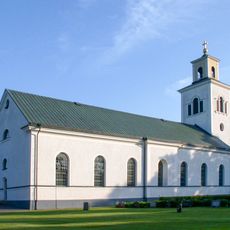
Klockrike Church
20.2 km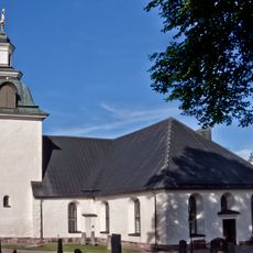
Tjällmo Church
2.8 km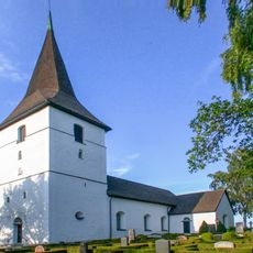
Ekebyborna Church
19.8 km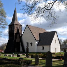
Godegård Church
12.2 km
Håleberg
21.6 km
Trehörnings masugn
20.9 km
Ljungsjön
18.5 km
Museihuset
19.6 km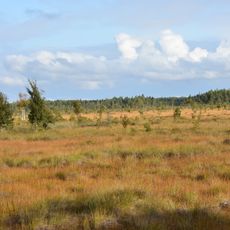
Kärnskogsmossen
17 km
Motala ströms ravin
20.5 km
Mårsätter
21.4 km
Strussjöskogen
16.3 km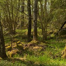
Grönkulla
14.2 km
Finspånga läns tingslag
13.3 km
Hällestads och Tjällmo tingslag
2.8 km
Zinkgruvan gruvmuseum
20.3 km
Bönergården, public beach
20.9 km
Lantbruksmuseet i Ljusfallshammar
13.7 kmReviews
Visited this place? Tap the stars to rate it and share your experience / photos with the community! Try now! You can cancel it anytime.
Discover hidden gems everywhere you go!
From secret cafés to breathtaking viewpoints, skip the crowded tourist spots and find places that match your style. Our app makes it easy with voice search, smart filtering, route optimization, and insider tips from travelers worldwide. Download now for the complete mobile experience.

A unique approach to discovering new places❞
— Le Figaro
All the places worth exploring❞
— France Info
A tailor-made excursion in just a few clicks❞
— 20 Minutes