
Höstacken Venaängarna, naturminne i Örebro kommun
Location: Örebro Municipality
Inception: December 20, 1939
GPS coordinates: 59.29288,15.25740
Latest update: June 1, 2025 18:51
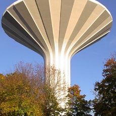
Svampen
1.9 km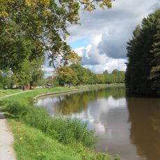
Svartån
2 km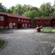
Wadköping
2.7 km
Myrö
2.4 km
Stadsparken
2.8 km
Örebro läns museum
3.2 km
Kungsstugan
2.7 km
Oset
3.2 km
Engelbrektsskolan, Örebro
2.5 km
Borgarhuset
2.7 km
Rynningeviken
633 m
Centralpalatset, Örebro
3.1 km
Norra Vattentornet
2.1 km
Örebro skofabrik AB
3 km
SCB-huset
3.1 km
Örebro konsthall
3.1 km
Arbetshuset
3.1 km
Högströmska gården
3 km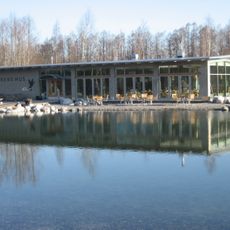
Naturens Hus, Örebro
1.5 km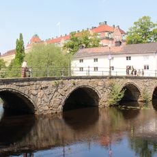
Kanslibron, Örebro
3.1 km
Husaren 1, Örebro
3.1 km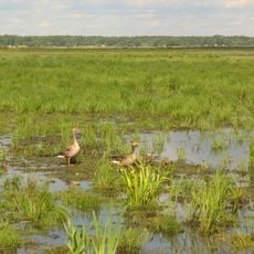
Oset och Rynningeviken
1 km
Femton meter historia
3.2 km
Röda Kvarn
3 km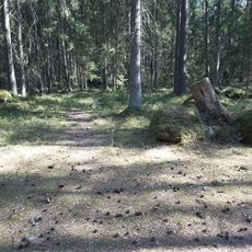
Kränglan
2.2 km
Landshövdingestallet
3.1 km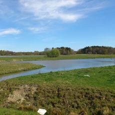
Boglundsängen
2.5 km
Örebro stadsarkiv
1.9 kmReviews
Visited this place? Tap the stars to rate it and share your experience / photos with the community! Try now! You can cancel it anytime.
Discover hidden gems everywhere you go!
From secret cafés to breathtaking viewpoints, skip the crowded tourist spots and find places that match your style. Our app makes it easy with voice search, smart filtering, route optimization, and insider tips from travelers worldwide. Download now for the complete mobile experience.

A unique approach to discovering new places❞
— Le Figaro
All the places worth exploring❞
— France Info
A tailor-made excursion in just a few clicks❞
— 20 Minutes