
2004065 Ett flyttblock "Lottbo kyrka", naturminne i Säters kommun
Location: Säter Municipality
Inception: January 22, 1931
GPS coordinates: 60.59135,16.06397
Latest update: April 17, 2025 22:19
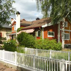
Carl Larsson-gården
17 km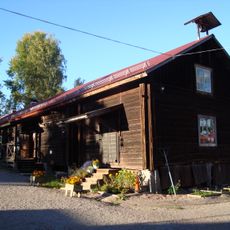
Svedens gård
18.6 km
Rottneby herrgård
18.7 km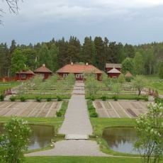
Gamla Staberg
15.8 km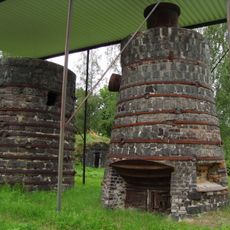
Korså bruk
6.7 km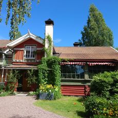
Carl Larsson-gården
17 km
Husbyringen
19.2 km
Rällingsberg ore area
13.8 km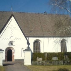
Vika Church
21.1 km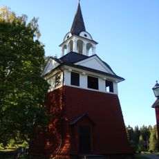
Sundborn Church
17.1 km
Birgittagården
16.5 km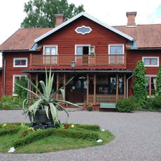
Stora Hyttnäs
17 km
Silvhytteå
13.4 km
Hosjön
18 km
Svärdsjö Church
19.5 km
Stjärnsunds kyrka
19.1 km
Linnés bröllopsstuga
18.6 km
Långshyttan Church
15.4 km
Rottnebyskogen
19.1 km
Stämshöjen
15.7 km
Parlogen i Nyhyttan
17.9 km
Runns norra öar
21.2 km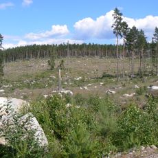
Ringkällmyrberget
11.4 km
Husby 123:1
19.2 km
Vika bibliotek
20.9 km
Hofors hembygdsgård
13.4 km
Långshyttans Brukshistoriska Förening
15.6 km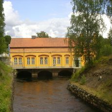
Sundborns kraftstation
17 kmReviews
Visited this place? Tap the stars to rate it and share your experience / photos with the community! Try now! You can cancel it anytime.
Discover hidden gems everywhere you go!
From secret cafés to breathtaking viewpoints, skip the crowded tourist spots and find places that match your style. Our app makes it easy with voice search, smart filtering, route optimization, and insider tips from travelers worldwide. Download now for the complete mobile experience.

A unique approach to discovering new places❞
— Le Figaro
All the places worth exploring❞
— France Info
A tailor-made excursion in just a few clicks❞
— 20 Minutes