
2004009 Ollastallen, naturminne i Säters kommun
Location: Säter Municipality
Inception: September 10, 1918
GPS coordinates: 60.32867,15.82652
Latest update: August 28, 2025 15:57
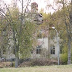
Fasta paviljongen, Säters mentalsjukhus
6.5 km
Säter Municipality
4.4 km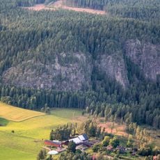
Bispbergs klack
2.7 km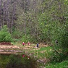
Säterdalen
6.8 km
Stora Skedvi Church
8.8 km
Hedemora gammelgård
9.7 km
Säter Church
4.8 km
Bältarbo brickyard
9.1 km
Vikmanshyttan Church
3.6 km
Kuhnegården
10 km
Stadsberget
8.8 km
Hedemora 52:1
8.3 km
Säter Library
4.7 km
Kaplansgården
8.6 km
Åsgårdarna
4.3 km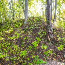
Hedemora 56:1
6.3 km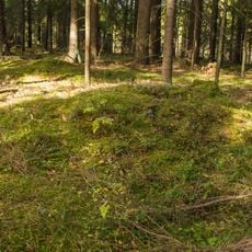
Hedemora 67:2
4.2 km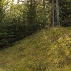
Hedemora 63:3
4.7 km
Vikmanshyttans bruksmuseum
3.9 km
Skrivarhällarna
7.6 km
Hedemora 63:1
4.7 km
Mörkön
3.6 km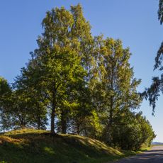
Hedemora 51:1
8.3 km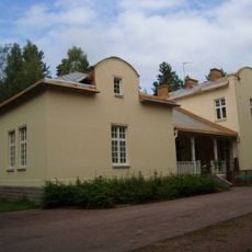
Mentalvårdsmuseet Säter
6.5 km
Matbosjöns badplats
8.2 km
Hedemora 67:3
4.1 km
Kapellbäcken
4.1 km
Hedemora 67:1
4.1 kmReviews
Visited this place? Tap the stars to rate it and share your experience / photos with the community! Try now! You can cancel it anytime.
Discover hidden gems everywhere you go!
From secret cafés to breathtaking viewpoints, skip the crowded tourist spots and find places that match your style. Our app makes it easy with voice search, smart filtering, route optimization, and insider tips from travelers worldwide. Download now for the complete mobile experience.

A unique approach to discovering new places❞
— Le Figaro
All the places worth exploring❞
— France Info
A tailor-made excursion in just a few clicks❞
— 20 Minutes