
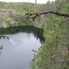
Täljstensskogen, محمية طبيعية في السويد
Location: Pajala Municipality
Inception: January 3, 2019
GPS coordinates: 67.39496,22.35455
Latest update: June 27, 2025 20:16
Pakasaivo
66.3 km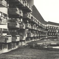
Ormen Långe
62.1 km
Käymäjärvi Inscriptions
25.3 km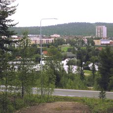
Focus building, Malmberget
76.9 km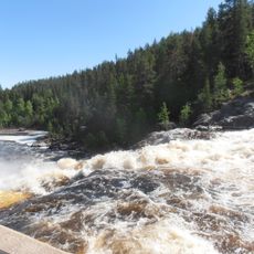
Linafallet
65.5 km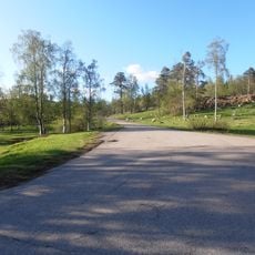
Town restructuration of Malmberget, Sweden
77.1 km
Læstadiuspörtet
48.6 km
Disponentvillan, Malmberget
76.5 km
Jupukka
40.1 km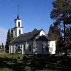
Korpilombolo Church
67.5 km
Folkets hus
77 km
Treenighetens kapell
76.2 km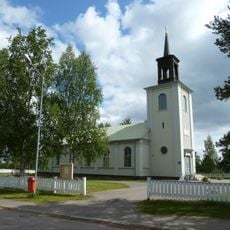
Vittangi Church
43.4 km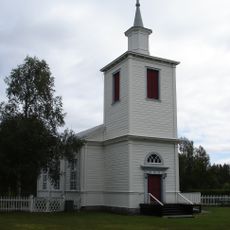
Muodoslompolo Church
76.4 km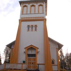
Tärendö Church
29.2 km
Sieppijärvi Church
74.9 km
Soutujärvi
53.5 km
Stenbaracken
75.9 km
Gällivare open air museum
77.9 km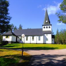
Ullatti Church
48.3 km
Paukijärvi
75.8 km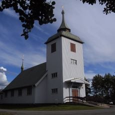
Junosuando Church
7.4 km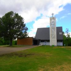
Soutujärvi Church
53.1 km
Kaunisvaara Church
41.5 km
Pajala och Korpilombolo tingslag
48 km
Kangos kyrka
16.4 km
Kolarin kunnankirjasto
62 km
Masugnsbyn
13.1 kmReviews
Visited this place? Tap the stars to rate it and share your experience / photos with the community! Try now! You can cancel it anytime.
Discover hidden gems everywhere you go!
From secret cafés to breathtaking viewpoints, skip the crowded tourist spots and find places that match your style. Our app makes it easy with voice search, smart filtering, route optimization, and insider tips from travelers worldwide. Download now for the complete mobile experience.

A unique approach to discovering new places❞
— Le Figaro
All the places worth exploring❞
— France Info
A tailor-made excursion in just a few clicks❞
— 20 Minutes