
Kungsgården Uranienborg, Type of farm in Scandinavia
Location: Landskrona Municipality
GPS coordinates: 55.90509,12.69703
Latest update: March 4, 2025 20:13
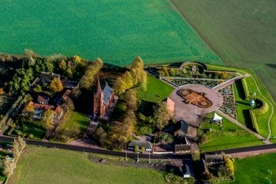
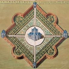
Uraniborg
310 m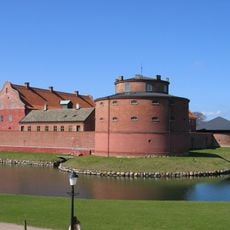
Landskrona Citadel
8.7 km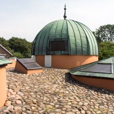
Stjerneborg
199 m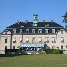
Örenäs Castle
6.5 km
Den barmhärtiga kärlekens Karmel
8 km
Hildesborg
7.2 km
Hilleshögs dalar
6.8 km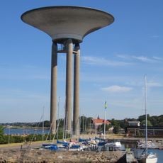
Landskrona Water Tower
8.6 km
Landskrona konsthall
8.8 km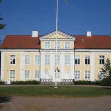
Säbyholm
8.1 km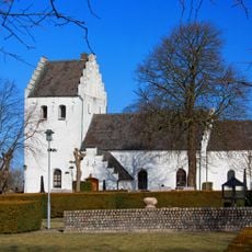
Glumslöv Church
8.1 km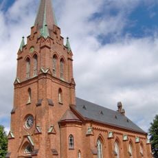
Sankt Ibbs nya kyrka
364 m
Örenäsgånggriften
6.3 km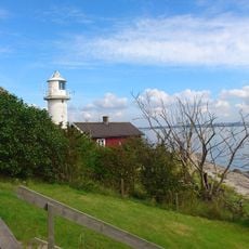
Haken lighthouse
1.8 km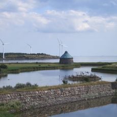
Gråen
8.9 km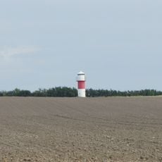
Ven South Head
1.7 km
Landskrona kallbadhus
8.5 km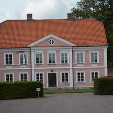
Örenäs gård
6.7 km
Nämndemansgården
1.3 km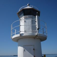
Kyrkbacken lighthouse
1.7 km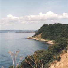
Vens backafall
2.4 km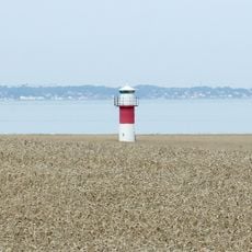
Ven West lighthouse
2.4 km
Rothoffska kolonin
8.8 km
Exercisfältet
7.9 km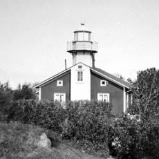
Ven West old lighthouse
2.1 km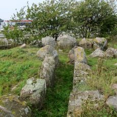
Glumslöv 12:2
8.5 km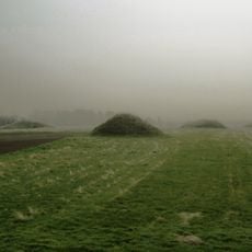
Glumslöv 12:4
8.6 km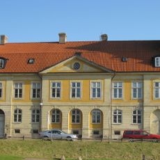
Fortifikationshuset, Landskrona
8.9 kmReviews
Visited this place? Tap the stars to rate it and share your experience / photos with the community! Try now! You can cancel it anytime.
Discover hidden gems everywhere you go!
From secret cafés to breathtaking viewpoints, skip the crowded tourist spots and find places that match your style. Our app makes it easy with voice search, smart filtering, route optimization, and insider tips from travelers worldwide. Download now for the complete mobile experience.

A unique approach to discovering new places❞
— Le Figaro
All the places worth exploring❞
— France Info
A tailor-made excursion in just a few clicks❞
— 20 Minutes