
Kullsand lower light, en f.d. ensfyr i Fredriksskans i Gävle kommun
Location: Gävle Municipality
Inception: 1955
GPS coordinates: 60.69850,17.21450
Latest update: April 24, 2025 15:04
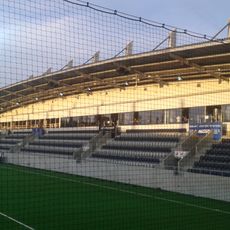
Gavlevallen
4.4 km
Gavleån
2.6 km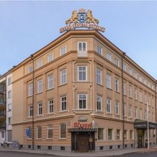
Centralhotellet, Gävle
4.3 km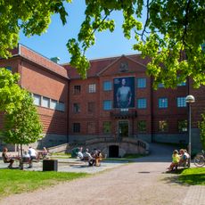
Gävleborg County Museum
4.5 km
Testeboån
2.8 km
Engeltofta
1.5 km
Sjömanskyrkan, Gävle
4.3 km
Fredriksskans
665 m
Staffans kyrka, Gävle
4.2 km
Gamla katolska kyrkan
4.3 km
Freemason house in Gävle
4.5 km
Immanuelskyrkan, Gävle
4.4 km
Buregården
4.4 km
Själanders girl school
4.6 km
Televerkets hus, Gävle
4.4 km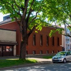
Frälsningsarmén i Gävle
4.2 km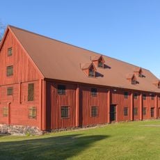
Stenebergs sockerbruk
4.2 km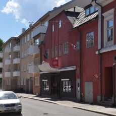
Royal
4.4 km
Strömsbrogården
3.1 km
Kvarteret Springer 6
4.1 km
Dybeckska gården
4.5 km
Kvarteret Springer 4
4 km
Kvarteret Springer 3
4 km
Kvarteret Springer 5
4 km
Strömsbro gamla skola
3.1 km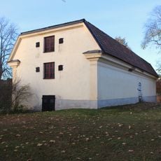
Kronobränneriets magasin
3.1 km
Strömsbro textilfabrik
3 km
Bränneridrängarnas hus och Engelska byggningen
3 kmReviews
Visited this place? Tap the stars to rate it and share your experience / photos with the community! Try now! You can cancel it anytime.
Discover hidden gems everywhere you go!
From secret cafés to breathtaking viewpoints, skip the crowded tourist spots and find places that match your style. Our app makes it easy with voice search, smart filtering, route optimization, and insider tips from travelers worldwide. Download now for the complete mobile experience.

A unique approach to discovering new places❞
— Le Figaro
All the places worth exploring❞
— France Info
A tailor-made excursion in just a few clicks❞
— 20 Minutes