Geylang, Planning area in Central Region, Singapore
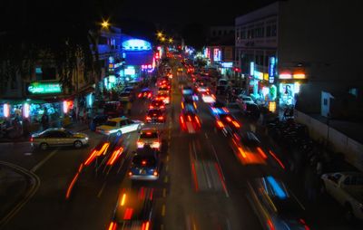
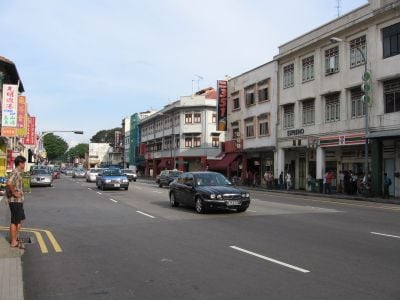
Geylang is a planning area in the Central Region of Singapore, known for its side lanes that run perpendicular to the main road. These lanes are lined with historic brick shophouses and multi-story residential blocks that connect the old and new urban landscape.
In the 19th century, the land was swampy terrain where fishermen built their homes and lived from their catch. In the 1960s, a housing program began that reshaped the landscape and created new residential blocks for thousands of families.
The name comes from a Malay word for a type of palm that once grew in the area. Local residents buy ingredients for their cooking or meet in food stalls that stay open late into the evening.
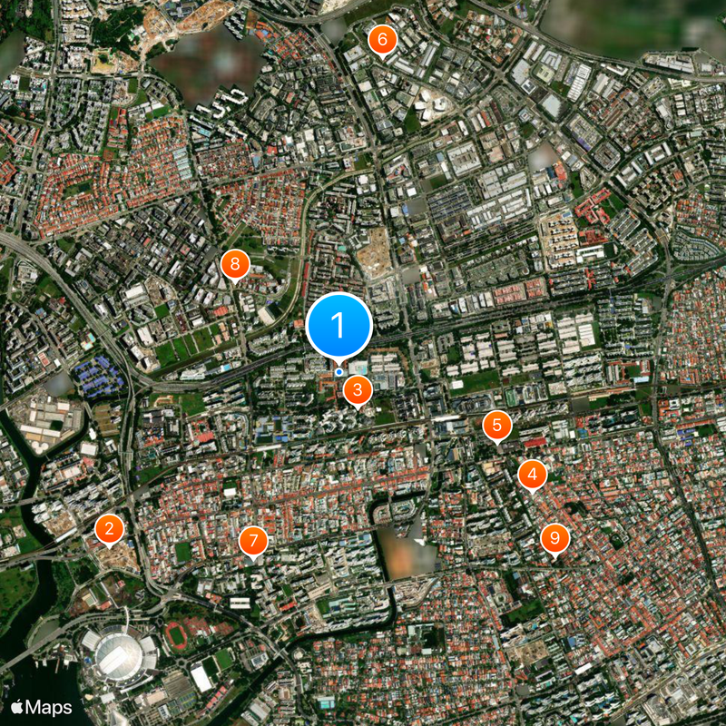
Several subway stations on the East Line and numerous bus routes connect the area to neighboring districts and expressways. Visitors can walk through the lanes during the day and eat at small eateries or street stalls in the evening.
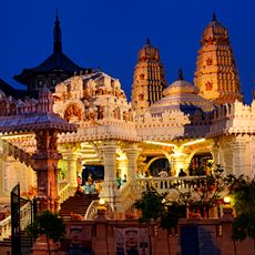
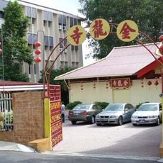
The numbering of side lanes follows an old system that locals understand immediately but sometimes confuses visitors. Some temple buildings in the lanes are over a hundred years old and display elaborate wooden carvings on doors and roof beams.
The community of curious travelers
AroundUs brings together thousands of curated places, local tips, and hidden gems, enriched daily by 60,000 contributors worldwide.