
Mae Tha, district in Lampang province, Thailand
Location: Lampang
Elevation above the sea: 320 m
GPS coordinates: 18.13500,99.51333
Latest update: March 23, 2025 02:51

Wat Phra That Lampang Luang
16 km
Wat Phra Kaeo Don Tao Suchadaram
18.5 km
Ban Pin Station
37.7 km
Wat Phra Chedi Chao Lang
20.8 km
Wat Chaloem Phra Kiat Phrachomklao Rachanusorn
68.1 km
Wat Phra That Suthon Mongkhon Khiri Samakkhi Tham
56 km
Wiang Kosai National Park
23.1 km
Wat Si Chum
16.6 km
Wat Chet Wan
17.4 km
Wat Phra Yuen
71.6 km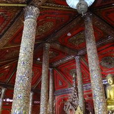
Wat Si Rong Mueang
17.7 km
Si Satchanalai National Park
61.8 km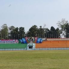
Lampang Province Stadium
19.1 km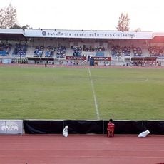
Lamphun Province Stadium
72.1 km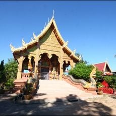
Wat Pa Yang
71.5 km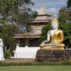
Wat Salaeng
34.1 km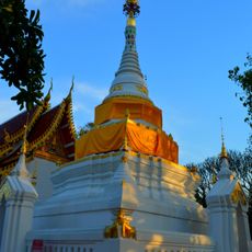
Wat Chaiyasit
22 km
Wat Luang
65.9 km
Wat Pongsanuk Tai
17.9 km
Thunghong Subdistrict municipality Stadium
69.7 km
Wat Phra That Ha Duang
70.7 km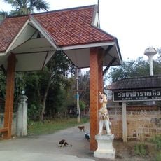
Wat Pa Samran Niwat
12 km
Wat Chom Sawan
67.5 km
Wat Hua Khuang
66.4 km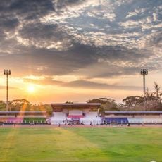
Phrae Provincial Administrative Organization Stadium
67.9 km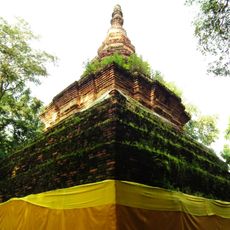
Wat Phra That Chom Chaeng
72.2 km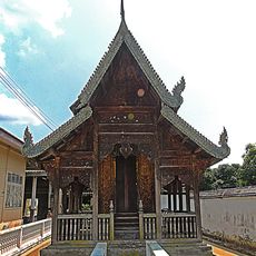
Wat Pa Hiang
70.1 km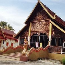
Wat San Sai
25.7 kmReviews
Visited this place? Tap the stars to rate it and share your experience / photos with the community! Try now! You can cancel it anytime.
Discover hidden gems everywhere you go!
From secret cafés to breathtaking viewpoints, skip the crowded tourist spots and find places that match your style. Our app makes it easy with voice search, smart filtering, route optimization, and insider tips from travelers worldwide. Download now for the complete mobile experience.

A unique approach to discovering new places❞
— Le Figaro
All the places worth exploring❞
— France Info
A tailor-made excursion in just a few clicks❞
— 20 Minutes