Enable Location

We need your location to show you interesting places around you

Discover nearby places

Find interesting locations and hidden gems around you

Precise directions

Get accurate directions and distances to places

Your location is never shared with other users. It's only used when you tap the location button.

Log in to your account

Start exploring — it's free

Trusted by 62,033 travelers worldwide

Continue with Google
Continue with Apple
or

We will send you a code to connect

By continuing, you accept our Terms and Conditions and our Privacy Policy

Check your inbox

We've sent a pincode in your inbox. Please enter the code below.

Mueang Kanchanaburi

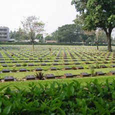
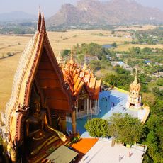
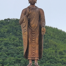
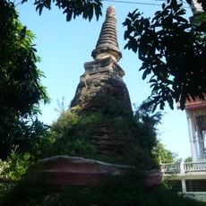
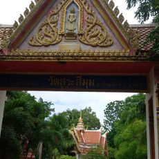
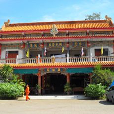
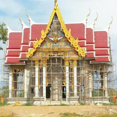
Mueang Kanchanaburi, Administrative district in Kanchanaburi Province, Thailand

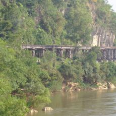
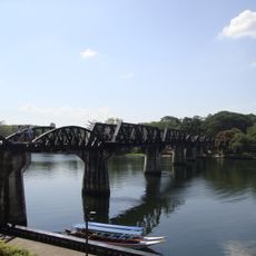
Mueang Kanchanaburi is an administrative district in Kanchanaburi Province located where the Khwae Noi and Khwae Yai Rivers meet to form the Mae Klong River. The district spans thirteen sub-districts and ninety-nine villages that together serve as the provincial administrative hub.

The district underwent a significant administrative transformation in 1954 when its administrative seat relocated from Tambon Ban Nuea to Tambon Pak Phraek. This shift marked an important turning point in the region's administrative development.

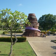
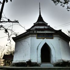
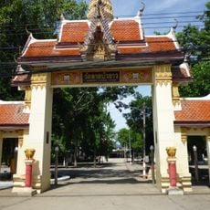
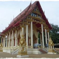
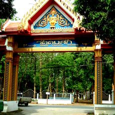
The district maintains multiple township areas including Kaeng Sian, Nong Bua, and Talat Ya, each preserving traditional Thai community structures and local governance.

The area functions as the provincial administrative center with essential government facilities and transportation links to neighboring regions. Visitors will find all necessary services and good connections to surrounding areas here.

The area contains Phu Nam Ron, a border crossing to Myanmar that positions the region for future economic growth through cross-border trade. This location makes it a key point for regional development and exchange.

The community of curious travelers

AroundUs brings together thousands of curated places, local tips, and hidden gems, enriched daily by 60,000 contributors worldwide.

Start exploring
Location
Elevation above the sea
164 m
GPS coordinates
14.00333,99.55000
Latest update
December 7, 2025 19:29
Administrative divisions
« Mueang Kanchanaburi - Administrative district in Kanchanaburi Province, Thailand » is provided by Around Us (aroundus.com). Images and texts are derived from Wikimedia project under a Creative Commons license. You are allowed to copy, distribute, and modify copies of this page, under the conditions set by the license, as long as this note is clearly visible.

Discover hidden gems everywhere you go!

From secret cafés to breathtaking viewpoints, skip the crowded tourist spots and find places that match your style. Our app makes it easy with voice search, smart filtering, route optimization, and insider tips from travelers worldwide. Download now for the complete mobile experience.

Around Us App Screenshot

A unique approach to discovering new places

Le Figaro

All the places worth exploring

France Info

A tailor-made excursion in just a few clicks

20 Minutes

Around Us
Travel Guide & Maps
Download

Send to your phone

QR Code
1

Open the camera app on your mobile.

2

Point at the QR code with your camera. A notification will appear.

3

Tap the notification to open the link.