
Phanom Thuan, district in Kanchanaburi province, Thailand
Location: Kanchanaburi
Elevation above the sea: 54 m
GPS coordinates: 14.13028,99.69889
Latest update: March 26, 2025 07:51
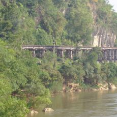
Burma Railway
23.4 km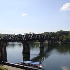
River Kwai bridge
23.3 km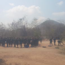
Khao Chon Kai Training Camp
33.3 km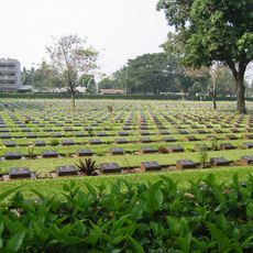
Kanchanaburi War Cemetery
21.7 km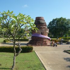
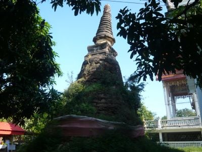
Chedi Yuthahatthi
8.1 km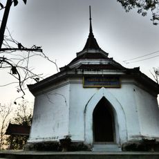
Wat Phra Thaen Dong Rang
14.3 km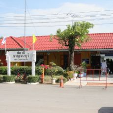
Kanchanaburi railway station
21.6 km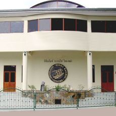
Death Railway Museum and Research Centre
21.7 km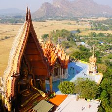
Wat Tham Suea
22.2 km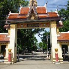
Wat Lat Bua Khao
34.6 km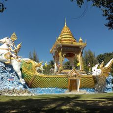
Wat Chaichumphon Chana Songkhram
22 km
Wat Tham Khao Noi
22.2 km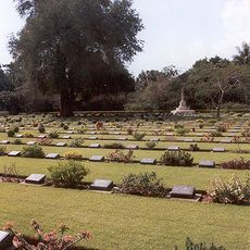
Chungkai War Cemetery
24.3 km
Wat Khao Phra Si Sanphet
34 km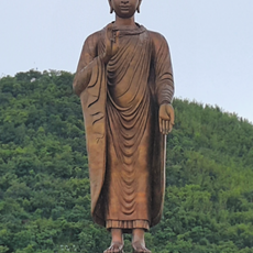
Wat Thipsukhontharam
20.8 km
Buddha Maha Metta Pracha Thai
21.1 km
Wat Thewa Sangkharam
21.9 km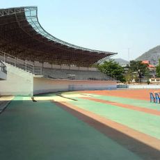
Kanchanaburi Stadium
23 km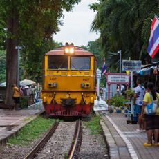
River Kwai Bridge railway stop
23.1 km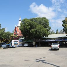
Wat Wang Khanai Thayikaram
20.5 km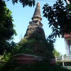
Wat Ban Thuan
556 m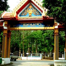
Wat Dong Sak
27.5 km
Beata Mundi Regina
21.8 km
Wat Takhram En
17.8 km
Wat Rang Wan
33.1 km
Luk Kae railway station
31.8 km
Phu Muang Forest Park
29.8 km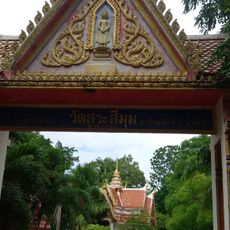
Wat Sa Si Mum
37.4 kmVisited this place? Tap the stars to rate it and share your experience / photos with the community! Try now! You can cancel it anytime.
Discover hidden gems everywhere you go!
From secret cafés to breathtaking viewpoints, skip the crowded tourist spots and find places that match your style. Our app makes it easy with voice search, smart filtering, route optimization, and insider tips from travelers worldwide. Download now for the complete mobile experience.

A unique approach to discovering new places❞
— Le Figaro
All the places worth exploring❞
— France Info
A tailor-made excursion in just a few clicks❞
— 20 Minutes