
Boromlia, village in Trostianets Raion, Sumy Oblast, Sumy Oblast, Ukraine
Location: Okhtyrka Raion
Inception: 1659
Elevation above the sea: 141 m
GPS coordinates: 50.62036,34.97228
Latest update: March 12, 2025 12:01

Okhtyrka Raion
21.6 km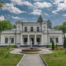
Galitzine Estate in Trostianets
16.3 km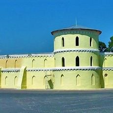
Round Riding School
16.4 km
Hetman National Nature Park
24.6 km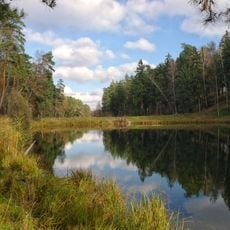
Trostianetskii park
17.2 km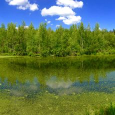
Juravline lake
24.1 km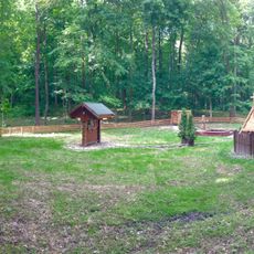
Obraz
18.3 km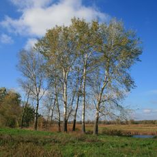
Zhuravlynyy Zakaznyk
20.8 km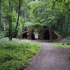
Grotto of the Nymphs
16.8 km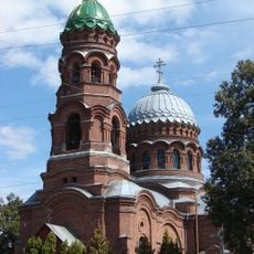
Вознесенська церква
17.4 km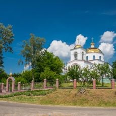
Хрестовоздвиженський храм
676 m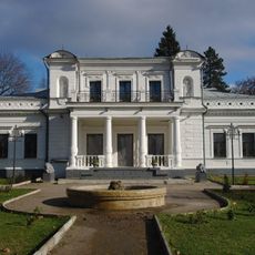
Trostyanets Regional Museum of Local Lore
16.3 km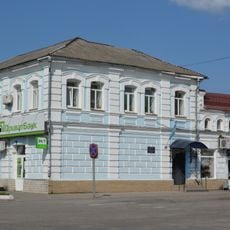
Магазин купця Ф. Курила
17 km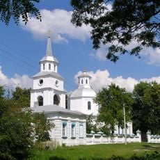
Благовіщенська церква
16.3 km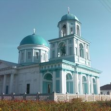
Узнясенская царква (Вэлыкы Бобрык)
16.6 km
Vorozhbyanskyy
22.4 km
Lisitsa
5.9 km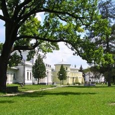
Oaks on Miru str.
16.2 km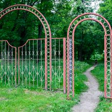
Великобобрицький парк
16.6 km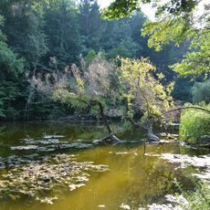
Neskuchanska dacha
18.3 km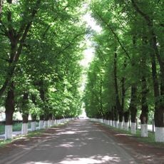
Trostyanetsky lipy
15.9 km
Grebenivskyy
13.4 km
Низівський парк
23.4 km
Vesele
17.4 km
Ділянка лісу (заповідне урочище)
10.4 km
Перелісківський
16.6 km
Makove
8.4 km
Zalugove (u skladi Getmanskogo NPP)
21.8 kmReviews
Visited this place? Tap the stars to rate it and share your experience / photos with the community! Try now! You can cancel it anytime.
Discover hidden gems everywhere you go!
From secret cafés to breathtaking viewpoints, skip the crowded tourist spots and find places that match your style. Our app makes it easy with voice search, smart filtering, route optimization, and insider tips from travelers worldwide. Download now for the complete mobile experience.

A unique approach to discovering new places❞
— Le Figaro
All the places worth exploring❞
— France Info
A tailor-made excursion in just a few clicks❞
— 20 Minutes