
Stavyshche settlement hromada, hromada in Kyiv, Ukraine
Location: Bila Tserkva Raion
Inception: June 12, 2020
Capital city: Stavyshche
GPS coordinates: 49.39139,30.19167
Latest update: March 7, 2025 17:34
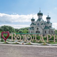
Volodarka
24.6 km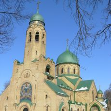
Church of the Intercession
21.2 km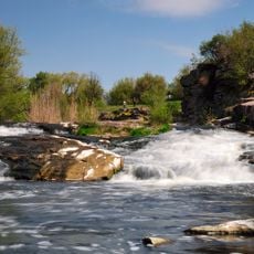
Vyr Waterfall
36 km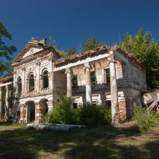
Palace in Rude Selo
36.7 km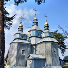
Saint Nicholas church, Syniava
36.7 km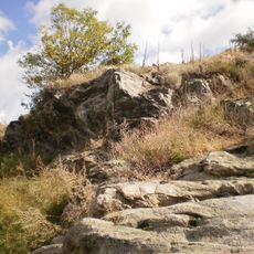
Shcherbaky Geologic Monument
31.4 km
P'yatigirs'kij park
20.3 km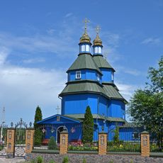
Saint Michael church in Ostriv, Bila Tserkva Raion
34.5 km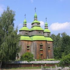
Church from Zarubyntsi
34.1 km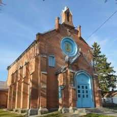
Saint Mary Magdalene church in Tarashcha
29.1 km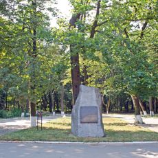
Stavyshchenskyi Park
780 m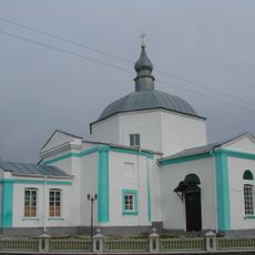
Church of the Dormition, Piatyhory
23.1 km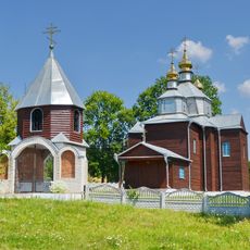
Church of the Nativity of the Theotokos in Antonivka, Stavyshche Raion
5.3 km
Urochyshche Malyshky Reserve
34.4 km
Dubovyy Gay 29.
32.9 km
Mazepyntsi Tract Reserve
36.6 km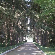
Tomylivskyi Park
34.5 km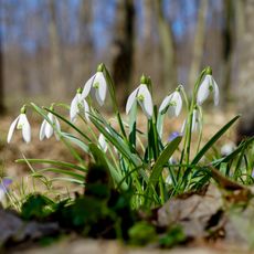
Revuha
4.3 km
Chahari Park
35.3 km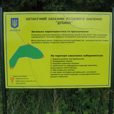
Urochyshche Dubyna Reserve
3.6 km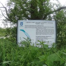
Бабині лози
35.4 km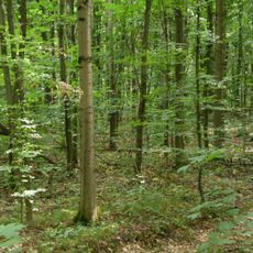
Ulashivska Dacha Reserve
24.8 km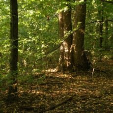
Liubachivskyi Lis Reserve
18.4 km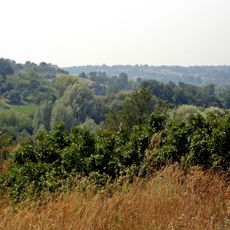
Stryzhavskyi Lis Reserve
14.8 km
Volodarska Dacha Reserve
20.4 km
Stadnitskyy stav
35.2 km
High pine plantations
27.8 km
Mykhailivska Dacha Reserve
28.1 kmReviews
Visited this place? Tap the stars to rate it and share your experience / photos with the community! Try now! You can cancel it anytime.
Discover hidden gems everywhere you go!
From secret cafés to breathtaking viewpoints, skip the crowded tourist spots and find places that match your style. Our app makes it easy with voice search, smart filtering, route optimization, and insider tips from travelers worldwide. Download now for the complete mobile experience.

A unique approach to discovering new places❞
— Le Figaro
All the places worth exploring❞
— France Info
A tailor-made excursion in just a few clicks❞
— 20 Minutes