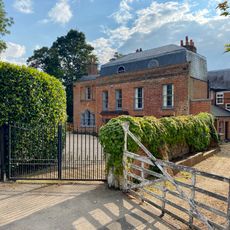
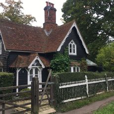
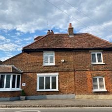
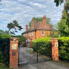
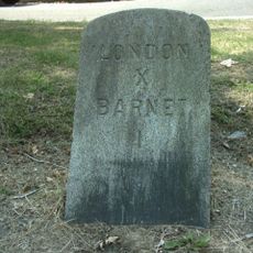
Totteridge, Protected residential area in North London, England
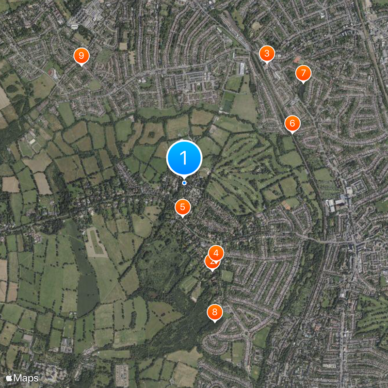
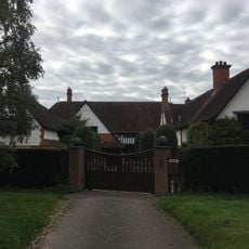
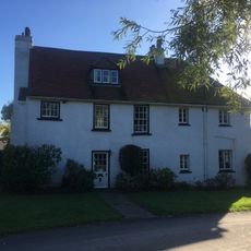
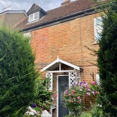
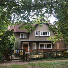
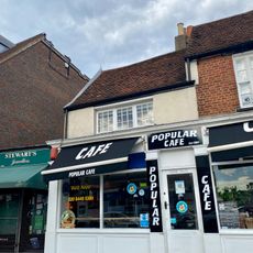
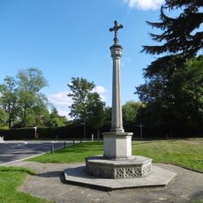
Totteridge is a residential area in North London, roughly 8 miles from central London, where suburban homes mix with open green spaces. Fields and nature reserves break up the housing, giving the neighborhood a more rural feel despite its proximity to the city.
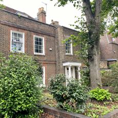
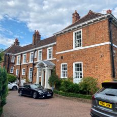
The name Totteridge first appeared in 12th-century records as Taderege, when it formed part of a bishop's medieval estate. Over the centuries, it transformed from church-owned farmland into a modern London neighborhood.
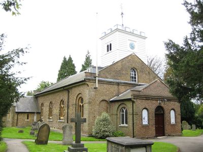
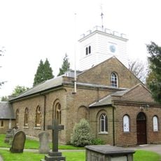
St. Andrew's Church anchors the neighborhood with its ancient yew tree in the churchyard, representing deep roots that residents and visitors continue to connect with today. The church remains a focal point where the community gathers and the passage of time becomes tangible through the tree's presence.
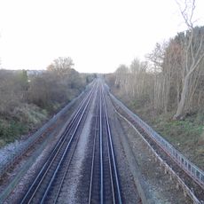
The nearest tube station is Totteridge and Whetstone on the Northern Line, providing regular connections to central London. Bus routes 251 and 326 offer additional links around the area and beyond.
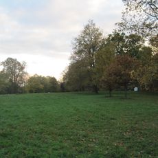
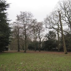
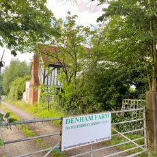
The area contains several nature reserves such as Darland's Lake Nature Reserve and Totteridge Common, which provide habitats for local wildlife. These green patches allow visitors to spot birds, insects, and small mammals without traveling far from the neighborhood itself.
The community of curious travelers
AroundUs brings together thousands of curated places, local tips, and hidden gems, enriched daily by 60,000 contributors worldwide.