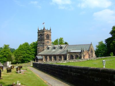
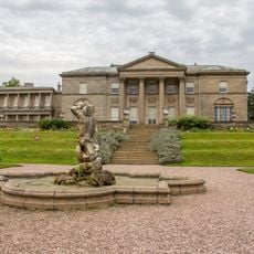
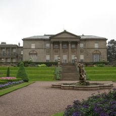
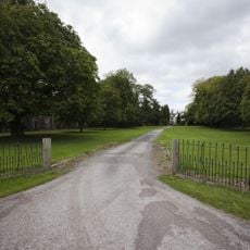
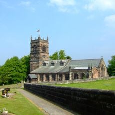
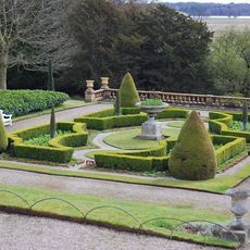
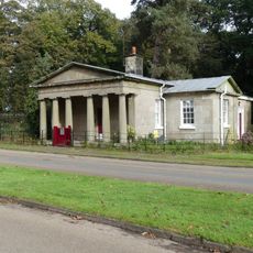
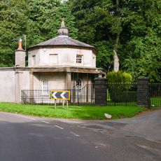
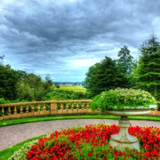
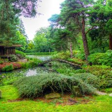
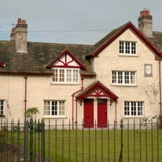
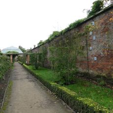
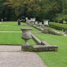
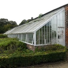
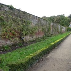
Rostherne, village in the United Kingdom
Location: Cheshire East
Shares border with: Tatton, Millington, Little Bollington, Mere, Ashley
GPS coordinates: 53.35000,-2.38333
Latest update: April 8, 2025 21:38
Tatton Park
2.2 km
Tatton Hall
2.2 km
Watch Hill Castle
2.3 km
Ashley Hall
2.6 km
St Mary's Church, Rostherne
315 m
Tatton Park Gardens
2.3 km
Rostherne Lodge
1.1 km
Cruck barn at Tatton Old Hall
2.6 km
Orangery
2.2 km
Eastern vase on lower terrace garden before south front of Tatton Hall
2.2 km
Boothbank Farmhouse
2.5 km
Walls of Western Kitchen Garden
2.4 km
Mere Lodge
2.4 km
Western vase on lower terrace, garden before south front of Tatton Hall
2.2 km
Wall and balustrade of Lower Terrace. Garden before south front of Tatton Hall
2.2 km
Shinto Temple
2.6 km
Laundry Building
435 m
Palm House to west of Orangery
2.2 km
Stable Block
2.2 km
Flight of steps between intermediate and lower terrace of garden before south front of Tatton Hall
2.2 km
Stable block and barn to Home Farm
1.6 km
South wall of Eastern Kitchen Garden
2.3 km
Upper terrace wall, garden before south front of Tatton Hall
2.2 km
Stone wall and hothouses in Western Kitchen Garden
2.3 km
North and east walls of Eastern Kitchen Garden
2.2 km
Pool wall and Triton Fountain in lower terrace garden before south front of Tatton Hall
2.2 km
Milepost, S of Bucklow Hill
1.7 km
Pool and fountain before south front of Orangery
2.3 kmReviews
Visited this place? Tap the stars to rate it and share your experience / photos with the community! Try now! You can cancel it anytime.
Discover hidden gems everywhere you go!
From secret cafés to breathtaking viewpoints, skip the crowded tourist spots and find places that match your style. Our app makes it easy with voice search, smart filtering, route optimization, and insider tips from travelers worldwide. Download now for the complete mobile experience.
A unique approach to discovering new places❞
— Le Figaro
All the places worth exploring❞
— France Info
A tailor-made excursion in just a few clicks❞
— 20 Minutes