Akeman Street, Roman road near St Albans, England
Akeman Street is a Roman road that runs from St Albans through the Chilterns to Cirencester, traversing multiple ancient territories and varied landscapes across Britain. The route follows the terrain and connects important Roman centers across significant distances.
The road was built during Roman times to connect Verulamium with Corinium, serving as a major route for military movements and trade in the 2nd century. This connection allowed the Romans to strengthen their control over the region and move resources efficiently.
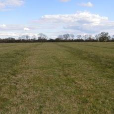
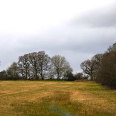
The road served as a vital trade corridor linking two major Roman settlements, facilitating commerce and communication across territories. Walking portions of it today offers a sense of how ancient people moved goods and traveled between distant communities.
Sections of this ancient route are accessible for walkers in North Oxfordshire, with entry points near Bicester North and Tackley railway stations. It helps to carry local walking maps and check access conditions beforehand, as the path passes through private land in places.
The road featured a paved width of about 16 feet and was constructed in multiple layers, including oolite stone with a distinct crown. This sturdy construction allowed the route to withstand two millennia of varying weather conditions.
The community of curious travelers
AroundUs brings together thousands of curated places, local tips, and hidden gems, enriched daily by 60,000 contributors worldwide.