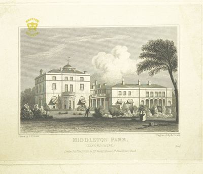
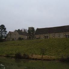
Middleton Park, Oxfordshire, Grade I listed country estate in Middleton Stoney, England
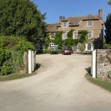
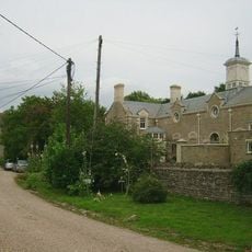
Middleton Park is a Grade I listed country house in Oxfordshire designed by the architect Edwin Lutyens. The site holds the main residence, garden grounds, and a church building that developed over several centuries.
The estate came into the hands of the 3rd Earl of Jersey in 1737, who carried out major rebuilding work. The main house as it stands today took shape during this period and the grounds were reshaped accordingly.
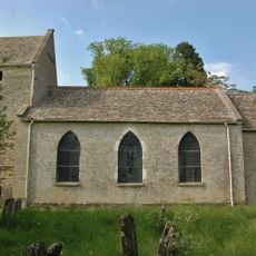
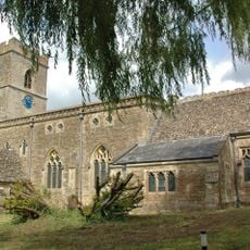
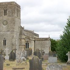
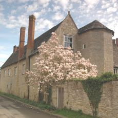
The Church of All Saints dates from Norman times and sits within the grounds as a reminder of long building traditions. It shapes how the place feels and shows how religious and worldly structures grew together here over many generations.
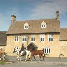
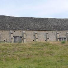
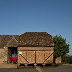
The estate now serves as a residential complex, though certain areas remain accessible to visitors. The church and portions of the grounds can be explored during daylight hours, allowing time for a leisurely walk through the site.
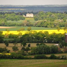
The grounds are bordered by a ha-ha, a hidden sunken ditch without a fence that keeps views open and unblocked. This clever design feature of the period still allows visitors today to gaze across the surrounding fields without interruption.
The community of curious travelers
AroundUs brings together thousands of curated places, local tips, and hidden gems, enriched daily by 60,000 contributors worldwide.