Chester, Ancient county town in Cheshire West and Chester, England
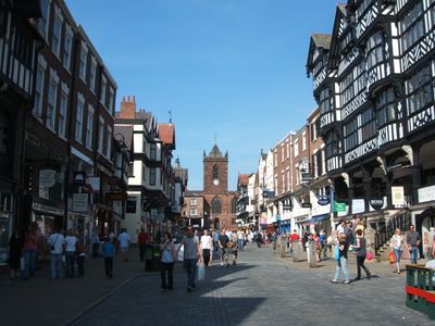
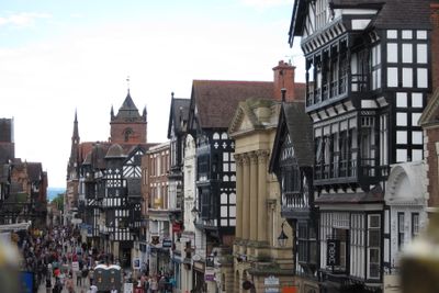
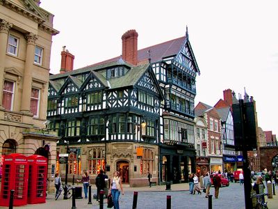
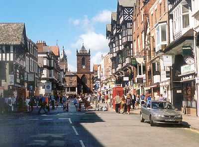
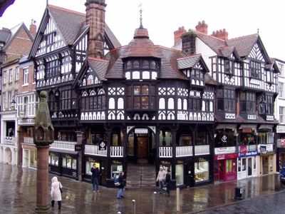
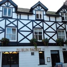
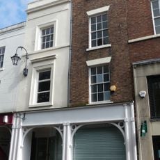
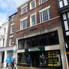
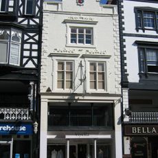
Chester is a county town in Cheshire West and Chester, located in northwestern England along the River Dee. The historic center is surrounded by a complete circuit of defensive walls built from red sandstone, which visitors can walk along for roughly three kilometers (nearly two miles) via a continuous footpath.
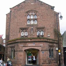
Romans established a military fortress here in 79 called Deva Victrix, which later grew into a significant trade center. During medieval times, the port developed into an important hub for goods moving between England, Ireland, and the European continent.
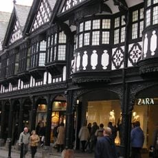
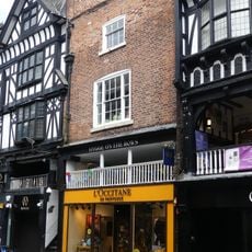
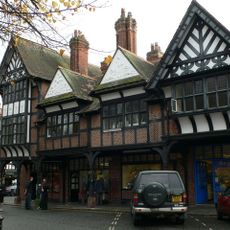
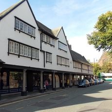
Each afternoon, locals gather in tearooms along the medieval Rows, continuing a long tradition of meeting for conversation over carefully prepared pots of tea and pastries. Markets fill the squares twice weekly, where residents still buy fresh produce from nearby farms and exchange news with vendors they have known for years.
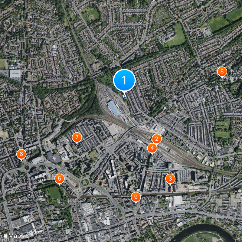
The main railway station offers regular direct connections to Liverpool, Manchester, and London throughout the day. Most landmarks lie close together inside the walls, making it easy to explore on foot without needing public transport within the center.
A partly buried Roman amphitheater sits in a quiet park near the walls, where thousands once watched gladiator contests. Archaeologists have uncovered only a portion of the seating tiers, while the rest remains beneath grass and trees awaiting further excavation.
The community of curious travelers
AroundUs brings together thousands of curated places, local tips, and hidden gems, enriched daily by 60,000 contributors worldwide.