
Rhosllanerchrugog, village and community in Wrexham
Location: Wrexham County Borough
Location: Wales
GPS coordinates: 53.01115,-3.05221
Latest update: March 6, 2025 09:24

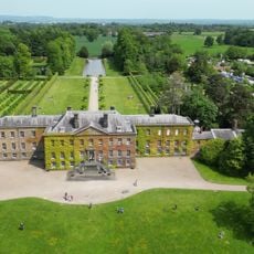
Erddig
3.5 km
Wat's Dyke
22.1 km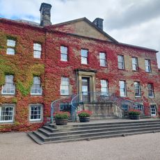
National Trust
3.5 km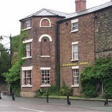
Wynnstay Arms Ph, Park Street (N Side) Ruabon
2.8 km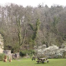
Nant Mill
3.6 km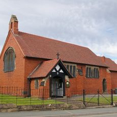
St David's Welsh Church
316 m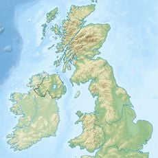
Cae Llwyd
2.9 km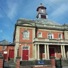
Stiwt Theatr
250 m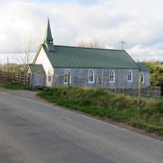
St Andrew's Church
4 km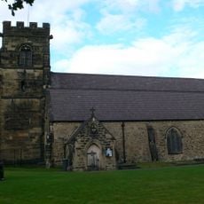
St Mary's Church
2.8 km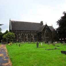
Church of the Holy Trinity
2.9 km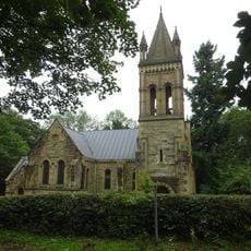
Church Of Saint Mary
3 km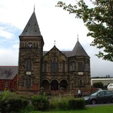
Bethlehem Welsh Independent Chapel
617 m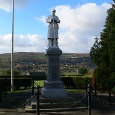
Coedpoeth War Memorial
4.7 km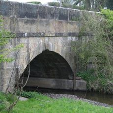
Hafod-y-bwch Bridge
2.9 km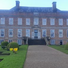
Erddig Museum
3.5 km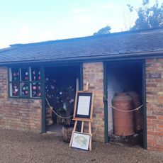
Dog Yard Range
3.5 km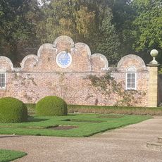
N Garden Pavilion including attached walls, alcove gatepiers and gates immediately to E of the house
3.6 km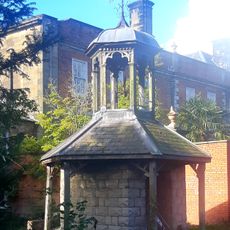
Cupola to SE of the house
3.5 km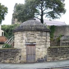
Round House, Bridge Street (N Side), Ruabon
2.8 km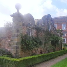
S Garden Pavilion including attached walls, alcove gatepiers and gates immediately to E of house
3.6 km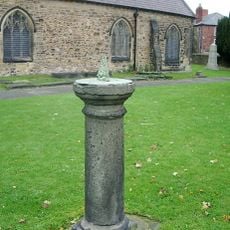
Sundial In The Churchyard to Church of St Mary, Church Street (S Side)
2.8 km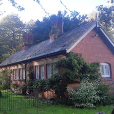
Coachman's House
3.5 km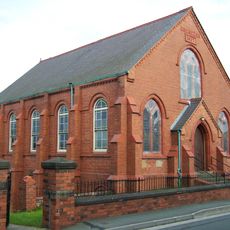
Ebenezer Independent Chapel
228 m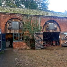
Former Haybarn to Outer Yard
3.5 km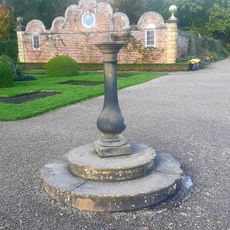
Sundial on main axis of the formal garden
3.6 km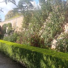
Garden walls to S side of formal garden including gate piers, gates and alcove
3.6 km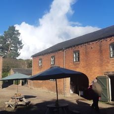
Sawmill
3.5 kmReviews
Visited this place? Tap the stars to rate it and share your experience / photos with the community! Try now! You can cancel it anytime.
Discover hidden gems everywhere you go!
From secret cafés to breathtaking viewpoints, skip the crowded tourist spots and find places that match your style. Our app makes it easy with voice search, smart filtering, route optimization, and insider tips from travelers worldwide. Download now for the complete mobile experience.

A unique approach to discovering new places❞
— Le Figaro
All the places worth exploring❞
— France Info
A tailor-made excursion in just a few clicks❞
— 20 Minutes