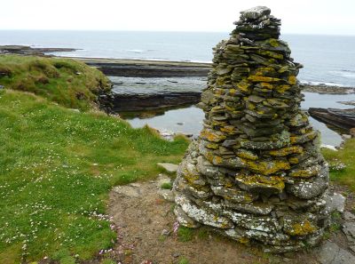
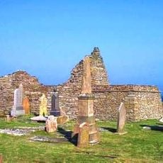
Crosskirk Broch, Iron Age broch in Highland, Scotland.
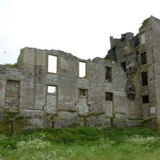
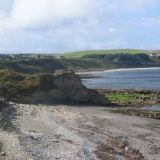
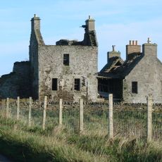
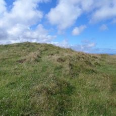
Crosskirk Broch is a circular Iron Age fortified structure standing near the Caithness coast with walls approximately 5.5 meters thick, representing the distinctive building style of these ancient strongholds. The ruins preserve the essential layout of the original settlement with its defensive design clearly visible in what remains above ground.
This broch was built around 200 BC during the Iron Age and appears to have been occupied continuously until approximately the 8th century AD, according to excavations conducted in the 1966 to 1972 period. The extended occupation span indicates the site maintained importance through many centuries of changing times.
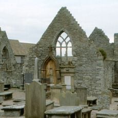
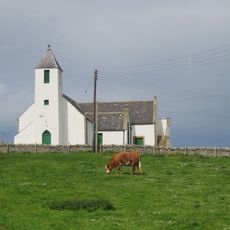
The site takes its name from an old church connection, referring to the nearby St Mary's Chapel and religious history of the area. The standing stones tell a different story, one of an Iron Age settlement that served as a center for community life long before Christian times.
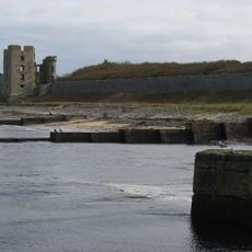
The site can be reached via marked pathways and features interpretive signage explaining its history, making navigation straightforward for visitors. Parking is available near the nearby St Mary's Chapel, allowing easy access to the ruins from your vehicle.
Excavations uncovered the remains of a person positioned in a sitting posture facing the Pentland Firth with no grave goods accompanying them, a burial practice that stands out from typical patterns. This unusual arrangement suggests specific beliefs or customs held by those who lived at this site during ancient times.
The community of curious travelers
AroundUs brings together thousands of curated places, local tips, and hidden gems, enriched daily by 60,000 contributors worldwide.