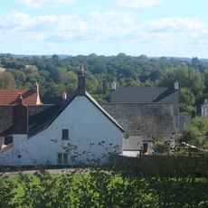
Cwmbran, Planned community in Torfaen, Wales.
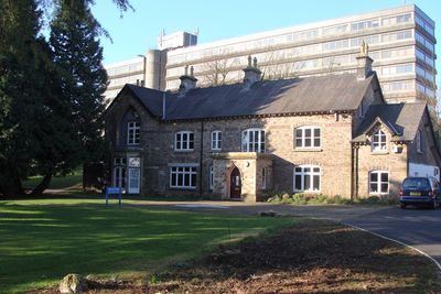
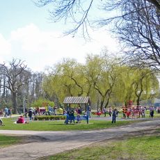
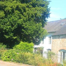
Cwmbran is a planned town in Torfaen, Wales, designed as an organized residential and commercial community. The town center contains shops, supermarkets, and recreational facilities arranged in a structured layout that shapes daily activities.
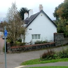
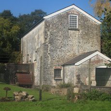
The town was established in 1949 as Wales's first planned new town following post-war legislation. This founding led to rapid growth as housing was built to serve the needs of the surrounding industrial areas.
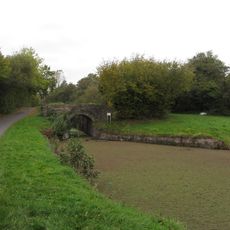
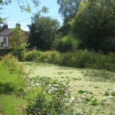
The name comes from Welsh words where 'cwm' means valley and 'bran' means crow, a naming that reflects the local language traditions of South Wales. You can see this heritage in the area's street names and community life.
The town center is easy to navigate with a railway station and bus services connecting to nearby areas. You can find all everyday shops and facilities arranged in a straightforward layout that makes getting around simple.
The town was designed primarily to provide housing for workers from nearby industrial valleys rather than generate new jobs. This housing focus shaped how the community developed and how it looks today.
Location: Torfaen
GPS coordinates: 51.65300,-3.02100
Latest update: December 14, 2025 20:25
Congress Theatre
106 m
County Hall, Cwmbran
1.4 km
Boating Lake Park
1.6 km
Llantarnam Grange Arts Centre
341 m
Pontrhydyrun Baptist Chapel
1.7 km
Church of the Holy Trinity
1.1 km
Elim United Reformed Church and attached Schoolroom
626 m
The Tower Block
250 m
Cwmbran Library
64 m
Canal bridge at Rachels Lock on Monmouthshire and Brecon Canal
2.1 km
Penywaun Independent Chapel
1.3 km
Llanfrechfa Grange
1.9 km
Canal bridge at Shop Lock on Monmouthshire and Brecon Canal
2.4 km
Canal bridge at Top Lock on Monmouthshire and Brecon Canal
1.9 km
Brook House and railings
2.5 km
Canal Tunnel between Sebastopol and Cwmbran, including attached revetment walls
2.1 km
Ty-coch Farmhouse
2.2 km
Gospel Hall
1.3 km
Glan-y-nant Farm
1.6 km
Llanyrafon Mill
1.1 km
Aqueduct over Dowlais Brook on Monmouthshire and Brecon Canal
1.5 km
Enclosure railings, walls, gatepiers and Memorials at the Conway Burial Yard
1.7 km
Lime kiln on S side of Garth Road
1.6 km
Tir-brychiad
2.3 km
Milepost on Monmouthshire and Brecon Canal
2.1 km
Barn on S side of Bevan's Lane
2.2 km
Elim Independent Chapel
638 m
Llanyrafon
1.2 kmVisited this place? Tap the stars to rate it and share your experience / photos with the community! Try now! You can cancel it anytime.
Discover hidden gems everywhere you go!
From secret cafés to breathtaking viewpoints, skip the crowded tourist spots and find places that match your style. Our app makes it easy with voice search, smart filtering, route optimization, and insider tips from travelers worldwide. Download now for the complete mobile experience.
A unique approach to discovering new places❞
— Le Figaro
All the places worth exploring❞
— France Info
A tailor-made excursion in just a few clicks❞
— 20 Minutes