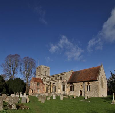
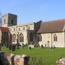
Sutton Courtenay, village and civil parish in Vale of White Horse district, Oxfordshire, England
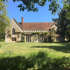
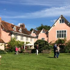
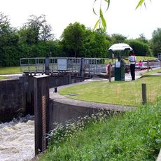
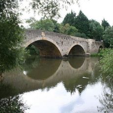
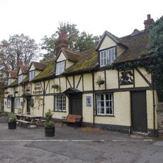
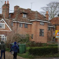
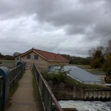
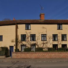
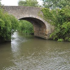
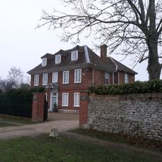
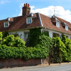
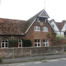
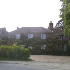
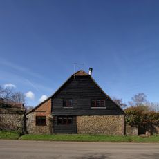
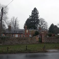
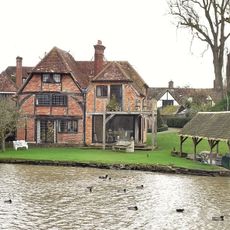
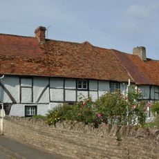
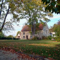
Sutton Courtenay is a village in the Vale of White Horse in England, comprising several hamlets with historic cottages and open countryside around them. The settlement sits near the River Thames and spreads across distinct neighborhoods connected by rural roads and agricultural land.
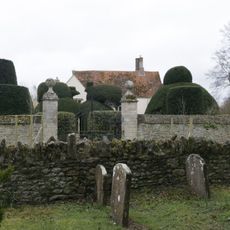
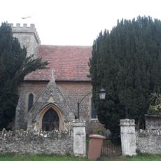
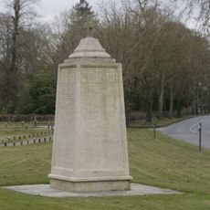
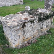
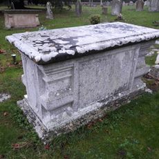
The village has roots in Anglo-Saxon times, with the name Courtenay deriving from a Norman family that shaped the region after 1066. It developed over centuries as a rural farming community with church centers.
The village is best explored on foot or by bicycle, as many paths wind through the community and distances are manageable. Visitors should be prepared for uneven surfaces and rural terrain, especially during winter months.
The community of curious travelers
AroundUs brings together thousands of curated places, local tips, and hidden gems, enriched daily by 60,000 contributors worldwide.