Caithness, Historic county in Highland, Scotland
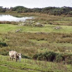
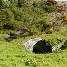
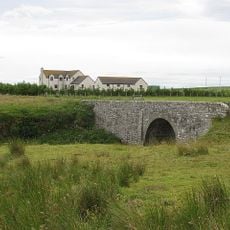
Caithness stretches across 1,600 square kilometers of mostly flat land between the North Sea and Pentland Firth at the northeastern tip of Scotland. Wide grasslands alternate with peat moors, while the coast is shaped by cliffs and small inlets.
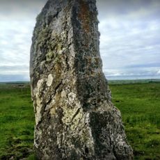
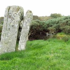
The region takes its name from the Pictish Cat people and came under Norse rule from the 9th century before becoming a Scottish shire in 1641. The Norse shaped settlement patterns and place names that remain visible today.
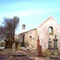
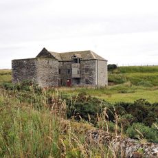
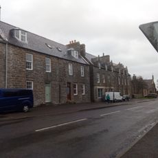
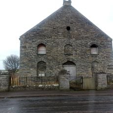
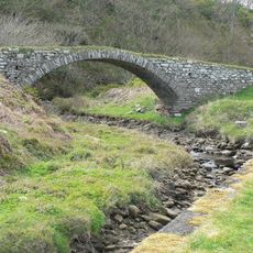
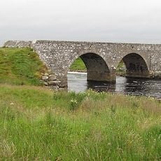
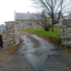
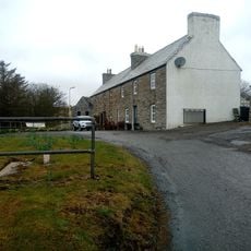
The name comes from the Pictish Cat people and still echoes in local place names that recall centuries of Norse settlement. Along the coast, lighthouses and harbors once tied to herring fishing now serve as reminders of the maritime past.
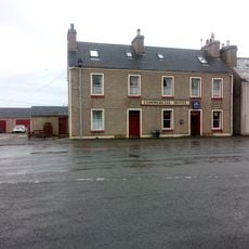
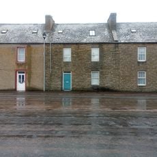
Wick and Thurso offer accommodation and services for visitors exploring the area. Road and rail connections to Inverness and other parts of Scotland are available, with routes passing through open countryside.
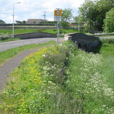
The Flow Country holds Europe's largest blanket bog, spreading across vast peatlands that support rare bird species. The peat layers store large amounts of carbon and play an important role in the regional climate.
The community of curious travelers
AroundUs brings together thousands of curated places, local tips, and hidden gems, enriched daily by 60,000 contributors worldwide.