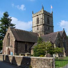
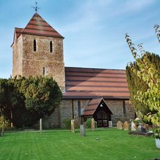
Church Stretton, Market town in Shropshire, England
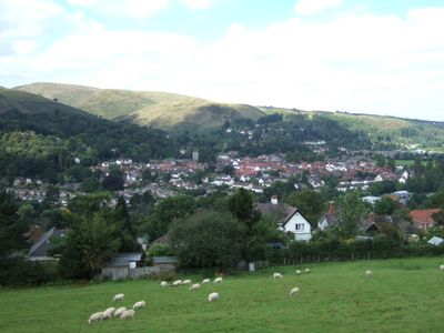
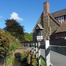
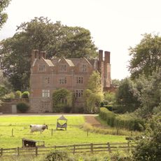
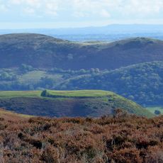
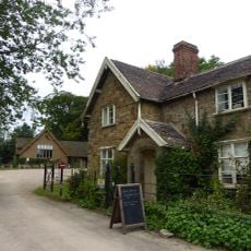
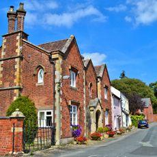
Church Stretton is a market town nestled between the Long Mynd plateau and Caer Caradoc hill, where independent shops and traditional stone buildings line the main streets. The town sits within a narrow valley floor framed by wooded slopes on either side.
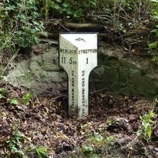
The settlement received a market charter from King John in 1214, establishing a weekly Thursday market that continues operating today. This early royal recognition helped the town grow as a trading hub for the surrounding region.
The woolen mills that once operated here shaped how local people worked and lived for generations. You can still explore these mills today and see how they connected the town to the wider textile trade across Britain.
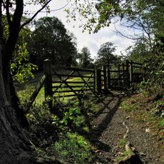
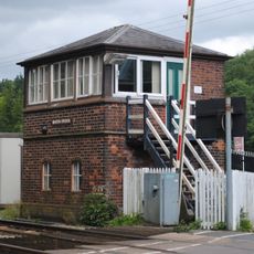
The town is well served by train connections to Shrewsbury and Ludlow, while a National Trust visitor center in Carding Mill Valley offers information and refreshments. Most shops and attractions are walkable from the town center, and the surrounding hills offer numerous hiking trails.
The Stretton Gap displays the greatest variety of rock types found in any comparable area across the United Kingdom. Geologists and nature enthusiasts visit the surrounding hills to study these unusual stone formations and geological layers.
Location: Shropshire
Shares border with: Cwm Head
Website: http://churchstretton.co.uk
GPS coordinates: 52.53900,-2.80800
Latest update: December 7, 2025 09:26
St Laurence's Church, Church Stretton
104 m
Caer Caradoc
2.9 km
Rectory Wood
327 m
Church of St Andrew
2.7 km
Church of All Saints
2.1 km
Church of St Margaret
4.3 km
St Michael and All Angels
2.3 km
Church Stretton War Memorial
173 m
Yew Tree Inn Public House
1.8 km
Kings Arms Public House
185 m
Marsh Brook Signal Box
4.1 km
The Tan House
2.3 km
Chelmick Manor Farmhouse And Outbuildings To South
2.8 km
Acton Scott Hall Including Service Court And Railings
4.3 km
Entrance Lodge Approximately 370 Metres North Of Acton Scott Hall
3.9 km
Bodbury Ring: a large univallate hillfort on the summit of Bodbury Hill.
1.3 km
The Priory
146 m
Milestone Approximately 90 Metres To North East Of Dudgeley House (That Part In All Stretton)
3 km
Milestone At Ngr So 430 892
5.1 km
Milepost At Ngr So 4678 9333
1.5 km
Milestone At Ngr So 4655 9642 On The B4370
3 km
Milestone In Front Of Number 47 High Street (Number 47 Is Not Included)
161 m
The Manor House
2.2 km
Milestone 27 Metres South West Of The Malt House
2.3 km
1, The Ancient House
2.1 km
Milestone At Ngr So 4475 8889
4.9 km
Milepost, Hope Bowdler
2.7 km
Shooters Hut disc barrow, 1500m south-west of Duckley Nap.
3.6 kmReviews
Visited this place? Tap the stars to rate it and share your experience / photos with the community! Try now! You can cancel it anytime.
Discover hidden gems everywhere you go!
From secret cafés to breathtaking viewpoints, skip the crowded tourist spots and find places that match your style. Our app makes it easy with voice search, smart filtering, route optimization, and insider tips from travelers worldwide. Download now for the complete mobile experience.
A unique approach to discovering new places❞
— Le Figaro
All the places worth exploring❞
— France Info
A tailor-made excursion in just a few clicks❞
— 20 Minutes