Enable Location

We need your location to show you interesting places around you

Discover nearby places

Find interesting locations and hidden gems around you

Precise directions

Get accurate directions and distances to places

Your location is never shared with other users. It's only used when you tap the location button.

Craven Arms

Log in to your account

Start exploring — it's free

Trusted by 65,110 travelers worldwide

Continue with Google
Continue with Apple
or

We will send you a code to connect

By continuing, you accept our Terms and Conditions and our Privacy Policy

Check your inbox

We've sent a pincode in your inbox. Please enter the code below.

Discussion Reviews 1 Photos
15.3k Popularity

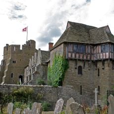
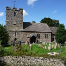
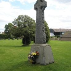
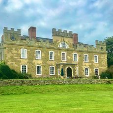
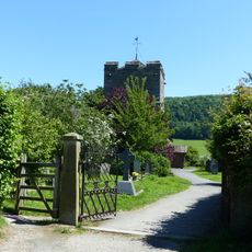
Craven Arms, town and civil parish in Shropshire, England

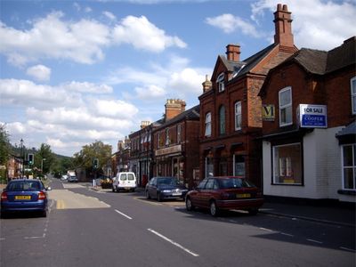
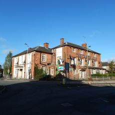
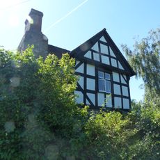
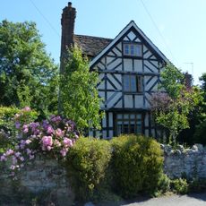
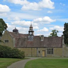
Craven Arms is a small town in Shropshire situated in a river valley between rolling hills. It has local shops, cafes, restaurants, and various small businesses that form the center, while a large garden center and other facilities round out the local offerings.

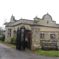
The town grew as a stopping place for travelers and traders because of its position on important routes. During Victorian times, a railway junction was built nearby, bringing more people and accelerating its development.

The name comes from a historic inn dating back to the 17th century that once served as a stopping point for travelers. Today locals and visitors gather in small shops and cafes, creating a warm and down-to-earth community feeling.

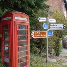
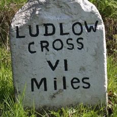
The town is easy to reach via the main road between Shrewsbury and Ludlow, with train connections on the Welsh Marches Line. The visitor center is located at the Shropshire Hills Discovery Centre and provides maps, local tips, and walking routes for exploring the area.

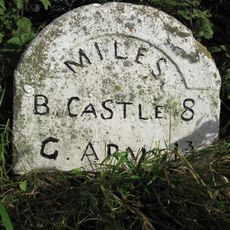
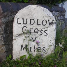
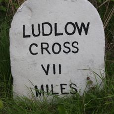
The town is often called the Gateway to the Marches because of its position right at the Welsh border, where it historically served as a natural crossing point for travelers between England and Wales. This strategic location made it an important hub for trade and exchange between the two regions.

The community of curious travelers

AroundUs brings together thousands of curated places, local tips, and hidden gems, enriched daily by 60,000 contributors worldwide.

Start exploring
Location
GPS coordinates
52.44000,-2.83500
Latest update
February 20, 2026 00:00
Around this place
Stokesay Castle
United Kingdom

Stokesay Castle

1.1 km
Flounders' Folly
United Kingdom

Flounders' Folly

3.5 km
Church of St John the Baptist
United Kingdom

Church of St John the Baptist

1.1 km
Church of St Michael
United Kingdom

Church of St Michael

4.3 km
Church of St Thomas
United Kingdom

Church of St Thomas

619 m
Church of St Michael
United Kingdom

Church of St Michael

2.1 km
Craven Arms War Memorial
United Kingdom

Craven Arms War Memorial

1 km
Onibury War Memorial
United Kingdom

Onibury War Memorial

4.3 km
Morris Monument Approximately 20 Metres South East Of Chancel Of Church Of St John The Baptist
United Kingdom

Morris Monument Approximately 20 Metres South East Of Chancel Of Church Of St John The Baptist

1.1 km
Halford War Memorial Lych Gate
United Kingdom

Halford War Memorial Lych Gate

638 m
Craven Arms Hotel
United Kingdom

Craven Arms Hotel

77 m
Sibdon Castle
United Kingdom

Sibdon Castle

2.1 km
Milestone at Junction of A49 and B4368
United Kingdom

Milestone at Junction of A49 and B4368

99 m
K6 telephone kiosk adjacent to post office (post office not included)
United Kingdom

K6 telephone kiosk adjacent to post office (post office not included)

4.2 km
Entrance Gates, Piers, Wing Walls And Screens At Stokesay Court
United Kingdom

Entrance Gates, Piers, Wing Walls And Screens At Stokesay Court

4.3 km
Gates and gate piers to churchyard of St John the Baptist
United Kingdom

Gates and gate piers to churchyard of St John the Baptist

1.1 km
Sundial outside porch of Church of St Michael
United Kingdom

Sundial outside porch of Church of St Michael

4.3 km
Onibury House
United Kingdom

Onibury House

4.1 km
Lodge and attached wall at Stokesay Court
United Kingdom

Lodge and attached wall at Stokesay Court

4.3 km
141, Newton
United Kingdom

141, Newton

410 m
Milestone At Ngr So 40486 81927
United Kingdom

Milestone At Ngr So 40486 81927

3 km
The Old Rectory
United Kingdom

The Old Rectory

325 m
Stables, Outbuildings And House At Stokesay Court
United Kingdom

Stables, Outbuildings And House At Stokesay Court

4.3 km
Milestone, Flaxford
United Kingdom

Milestone, Flaxford

3 km
Milestone, S of Wistanstow
United Kingdom

Milestone, S of Wistanstow

2.5 km
Milestone, Crowsmoor; W of Longmeadow-end
United Kingdom

Milestone, Crowsmoor; W of Longmeadow-end

3 km
Milestone, Onibury, N of level crossing
United Kingdom

Milestone, Onibury, N of level crossing

4.2 km
Milestone, Whettleton Lane jct
United Kingdom

Milestone, Whettleton Lane jct

1.4 km
Show the full map
Reviews
Share your experience

No review yet

Discussions
Start a discussion...

No discussion yet

« Craven Arms - town and civil parish in Shropshire, England » is provided by Around Us (aroundus.com). Images and texts are derived from Wikimedia project under a Creative Commons license. You are allowed to copy, distribute, and modify copies of this page, under the conditions set by the license, as long as this note is clearly visible.

Discover hidden gems everywhere you go!

From secret cafés to breathtaking viewpoints, skip the crowded tourist spots and find places that match your style. Our app makes it easy with voice search, smart filtering, route optimization, and insider tips from travelers worldwide. Download now for the complete mobile experience.

Around Us App Screenshot

A unique approach to discovering new places

Le Figaro

All the places worth exploring

France Info

A tailor-made excursion in just a few clicks

20 Minutes

Around Us
Travel Guide & Maps
Download

Send to your phone

QR Code
1

Open the camera app on your mobile.

2

Point at the QR code with your camera. A notification will appear.

3

Tap the notification to open the link.