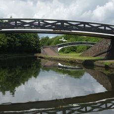
Galton Bridge, Steel road bridge in Smethwick, England.
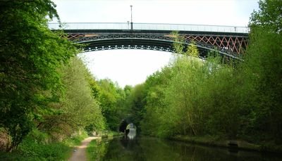
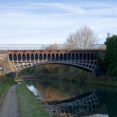
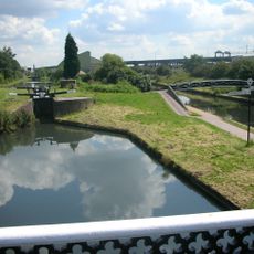
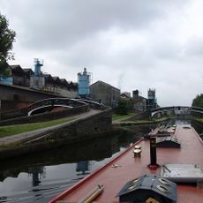
Galton Bridge is a steel road bridge in Smethwick, Sandwell, crossing the Birmingham Canal over a deep cutting, with decorative lamp posts and X-shaped iron bracing across its spandrels. The single arch carries the road well above the water, giving a clear view along the canal in both directions.
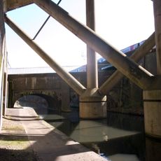
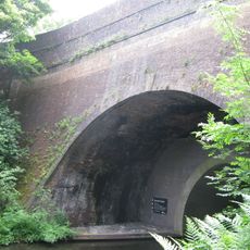
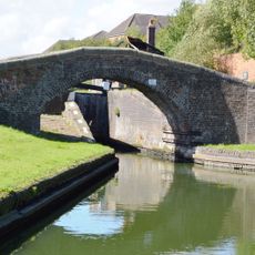
Thomas Telford designed this crossing in 1829 to carry road traffic over a newly cut main canal line running through a deep trench. In 1852, an extra arch was added to the south stone abutment to make room for the Stour Valley railway line passing below.
The bridge takes its name from Samuel Tertius Galton, an investor in the Birmingham Canal Company, and plaques fixed to the structure still show it was made at Horsley Iron Works. These marks of industrial production are easy to read directly on the ironwork during a visit.
The bridge is open to pedestrians and cyclists and sits close to Smethwick Galton Bridge railway station, making it easy to reach by train. Visiting in daylight gives the best view of the ironwork details and the plaques on the structure.
When Telford completed this bridge, its single iron span of around 150 feet (46 m) made it the longest iron arch bridge in the world at the time. That record did not last long, but the design is still seen as a turning point in the history of iron bridge construction.
The community of curious travelers
AroundUs brings together thousands of curated places, local tips, and hidden gems, enriched daily by 60,000 contributors worldwide.