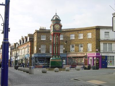
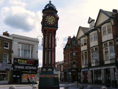
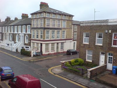
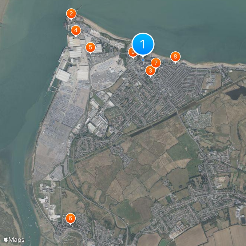
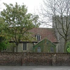
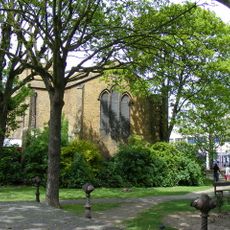
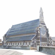
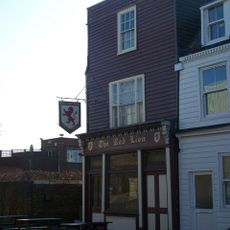
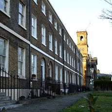
Sheerness, Port town in Isle of Sheppey, England
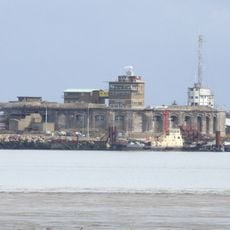
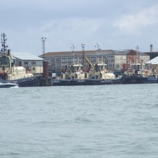
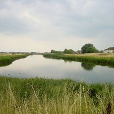
Sheerness is a port town occupying the northwestern corner of the Isle of Sheppey where the River Medway meets the Thames. The location features a deep-water harbor and coastal characteristics that define its layout and appearance.
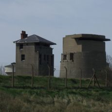
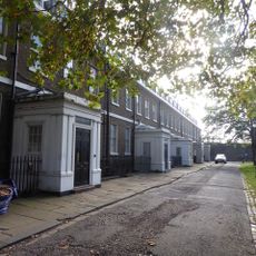
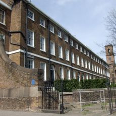
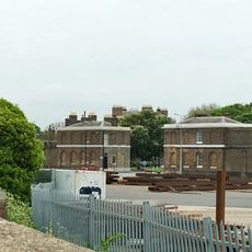
Following a Dutch raid in 1667, the Royal Navy established a naval base in 1669 that transformed the small fortification into a port town. This military installation shaped the place's growth and importance for centuries to come.
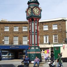
The town centers on its waterfront with public beaches and sports facilities that shape daily life by the sea. Annual cultural events bring together residents and visitors to celebrate local creativity and community spirit.
The railway station offers direct connections to other areas, while bus routes link the town to surrounding communities. Both transport options make it easy to explore the wider region from this base.
The cargo ship SS Richard Montgomery has rested on the seabed since 1944 with explosives still in its hold. This sunken vessel remains a notable remnant of World War II in the waters off the coast.
Location: Swale
GPS coordinates: 51.44111,0.76083
Latest update: December 12, 2025 03:57
Garrison Point Fort
1.3 km
Great Mill
291 m
Shed No. 78
1.1 km
The Criterion Blue Town
837 m
Parish Church of the Holy Trinity
2.9 km
Parish Church of the Holy Trinity
253 m
Roman Catholic Church of St Henry and St Elizabeth
520 m
Sheerness War Memorial
155 m
Red Lion Public House
794 m
Former Royal Dockyard Church And Attached Wall And Railings
542 m
King William Lion Monument To West Of Medway Port Authority Offices
675 m
Remains Of Windmill In Grounds Of Seaview Hotel
482 m
Medway Ports Authority Offices (dockyard House)
659 m
Clock Tower
164 m
Sheerness defences
633 m
Archway House Building Number 23
923 m
Numbers 1 To 15 And Attached Railings
644 m
Former North Saw Pits Building Number 84
1.1 km
Former Working Mast House Building Number 26
1.1 km
Queenborough Lines
983 m
Walls And Gates Of The Boat Basin, Docks Number 4 5 And Slipway
1.2 km
Railings To South Side Of Green To East Of Naval Terrace
487 m
Numbers 1 To 8 Attached Basement Railings, Walls, Coach House And Stables
510 m
North Gate House
734 m
South Gate House
707 m
6-10, Rose Street
201 m
Former Sawmill Building Numbers 105-107
860 m
Boundary Walls Extendes From Main Gate Along North And North East Side
1.1 kmVisited this place? Tap the stars to rate it and share your experience / photos with the community! Try now! You can cancel it anytime.
Discover hidden gems everywhere you go!
From secret cafés to breathtaking viewpoints, skip the crowded tourist spots and find places that match your style. Our app makes it easy with voice search, smart filtering, route optimization, and insider tips from travelers worldwide. Download now for the complete mobile experience.
A unique approach to discovering new places❞
— Le Figaro
All the places worth exploring❞
— France Info
A tailor-made excursion in just a few clicks❞
— 20 Minutes