Redruth, Mining town in Cornwall, England
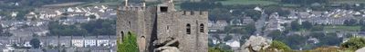
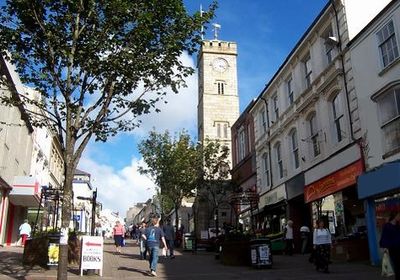
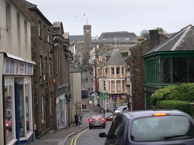
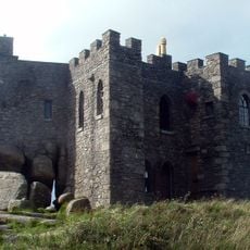
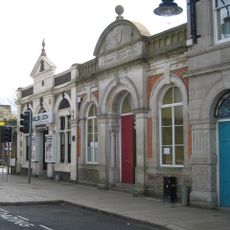
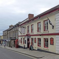
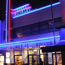
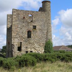
Redruth is a town at the center of Cornwall's copper and tin mining region, with its town center displaying historic buildings and architectural features dating from the 18th century. The streets show a mix of historical structures and modern shops, reflecting how the town balances its industrial past with contemporary life.
The settlement began in the 12th century around a ford, with its name deriving from Cornish words meaning red ford, referring to iron-stained waters. The location later became central to intensive mining operations that shaped the region's development for centuries.
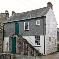
The town celebrates William Murdoch each June with a festival that draws thousands to experience traditional Cornish customs and local traditions. The event brings together music, crafts, and community gatherings that reflect how deeply the town values its connection to this engineering pioneer.
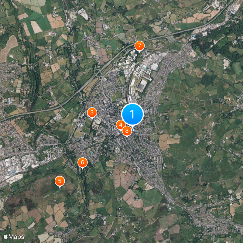
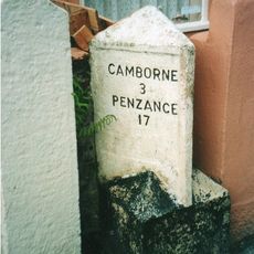
The railway station connects the town to Penzance and Truro, while roads A393 and A3047 pass through the business district. The town is easy to explore on foot, with parking available near the center for those arriving by car.
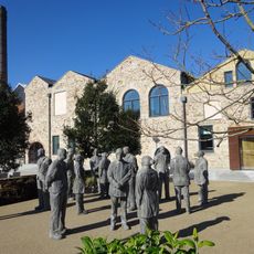
Kresen Kernow, located in the town, holds the world's largest collection of Cornish historical documents, books, maps, and photographs. This archive draws historians and researchers seeking connections to Cornish heritage and family roots.
Location: Cornwall
Website: http://redruth-tc.gov.uk
GPS coordinates: 50.23300,-5.22400
Latest update: December 6, 2025 21:27
Carn Brea Castle
1.9 km
Kresen Kernow
855 m
Mining Exchange
238 m
Carn Brea Castle
1.9 km
Church of St Euny
1.3 km
Church of St Stephen
1.6 km
Church of St Andrew
179 m
The Red Lion Hotel
240 m
Dunstanville Memorial
2.2 km
Regal Cinema
398 m
Murdoch House
363 m
Milepost At Sw 690 430
1.6 km
Milestone Situated On The Southern Side Of The B3293, Set Into A Gap In The Forecourt Wall Of 32 West End, Redruth
654 m
Milepost On South Side Of A30 At Sw 719 438
2.6 km
Gwennap Pit
1.6 km
War Memorial
230 m
Camborne and Redruth Mining District with Wheal Peevor and Portreath Harbour
2.6 km
Footbridge Linking Up And Down Platforms Of Redruth Railway Station
122 m
Milepost On Pavement In Front Of No.30
1.1 km
Milepost At Sw 688 446
3 km
Pump Engine House On Site Of Gambler And St Aubyn Mine At Sw 717 423
1.6 km
Pump Engine House To Lyle's Shaft At Sw 688 401
2.4 km
Milepost Attached To Front Wall Of No. 32
277 m
Milestone Immediately North Of Number 49
2.3 km
Carn Brea
2 km
Gunpowder Magazine On The Northern Slopes Of Carn Brea
2.5 km
Chimney At Sw 688 400
2.3 km
Winding Engine House To Lyle's Shaft At Sw 688 401
2.4 kmVisited this place? Tap the stars to rate it and share your experience / photos with the community! Try now! You can cancel it anytime.
Discover hidden gems everywhere you go!
From secret cafés to breathtaking viewpoints, skip the crowded tourist spots and find places that match your style. Our app makes it easy with voice search, smart filtering, route optimization, and insider tips from travelers worldwide. Download now for the complete mobile experience.
A unique approach to discovering new places❞
— Le Figaro
All the places worth exploring❞
— France Info
A tailor-made excursion in just a few clicks❞
— 20 Minutes